Having survived the weekend gales and rain, there's not much for Bay locals to look forward to this week.
Today's cool start to the first week of the new school term is just a taster for tomorrow, when the temperature is expected to be a whole degree cooler, and then there will be rain.
But today is going to be a generally fine day, says MetService forecaster Claire Flynn.
The minimum temperature overnight was 9.7 degrees Centigrade, warmer than Rotorua at 7.1, and Whakatāne and Kawerau at 8.8 degrees and 8.7 degrees.
But tomorrow is not going to be so good. The overnight low tonight is expected to be seven degrees producing a chillier start.
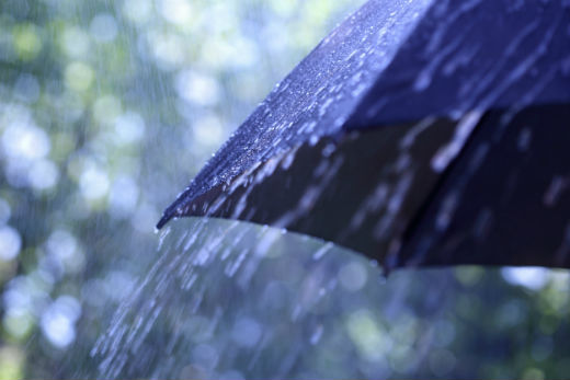
'Tomorrow starts out alright then there is a low pressure system briefly skirting across the North Island tomorrow,” says Claire. 'There will be some rain during the morning and a few showers during the afternoon.”
Part of the reason for the cooler 12.3 degree air temperature recorded by the Port of Tauranga this morning is the fresh snow on the mountain. Whakapapa ski field recorded a 10cm snow fall overnight which gives the ski field a 92cm base. The New Zealand Transport Agency has no snow warnings in place for the Desert Road.
The weekend gales and rain saw more than 200mm of rain recorded at a number of weather stations in the ranges of Westland from midnight Friday to midday Sunday.
Manukau Heads in West Auckland recorded a gust of 163km/h over the weekend while gusts around 140km/h affected the hilltops around Wellington.
Today in Tauranga the westerly is whistling across the top of crane five on Sulphur Point at between 55 km/h and 64km/h in the gusts. Elsewhere across the port the breeze is a milder 44 to 40km/h
To get the most up to date information on severe weather around the country, or any other forecasts, see metservice.com.

0 comments
Leave a Comment
You must be logged in to make a comment.