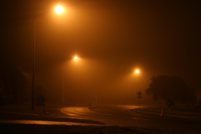
Tuesday looks like being the end of a very foggy period over New Zealand.
In many places, people will wake up to extensive fog and low cloud, especially over inland parts of the North Island.
'Travellers should be prepared for possible delays and hazardous driving conditions on Tuesday morning, particularly about the central North Island and from Waikato across to the Bay of Plenty and up to Auckland,” says MetService meteorologist Andy Best.
'Before leaving for the airport, it would pay to check with airlines for the latest flight information.”
From Tuesday to Friday, a series of troughs and ridges is expected to move across much of New Zealand.
People can expect days that feature both showers, associated with the troughs, and sunshine, tied to the ridges in between the troughs.
'Considering Thursday marks the first day of winter, the weather pattern is relatively normal and temperatures mild for this time of the year.”
Over the South Island, rain moves up the west coast late on Tuesday, with a few heavy falls possible.
Expect just a few showers in the west on Wednesday, clearing during Thursday.
Eastern parts see scattered rain from Tuesday afternoon and just a few showers on Thursday.
The North Island sees a foggy start to Tuesday, followed by a band of rain for western areas late in the day and with a few heavy falls possible overnight, turning to a few showers Wednesday and Thursday.
Areas from Gisborne down to Wellington will see a few showers and low cloud today, then enjoy mostly fine conditions from Tuesday through to Thursday.


0 comments
Leave a Comment
You must be logged in to make a comment.