The leftovers of an ex-tropical cyclone are coming towards New Zealand - but not how you might think.
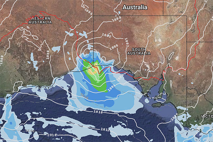
The remnants of what was Cyclone Kelvin, which made landfall the other day in north western Australia, will drift out over southern Australia and the Great Austraian Bight over the next few days to merge with a Southern Ocean system and form a new low on Monday over southern New Zealand.
"To help form this new low a sub-tropical northerly flow will be developing over New Zealand on Sunday thanks to a departing high to our east, while at the same time a Southern Ocean southerly will be pushing into the southern Tasman Sea - all of this merging around the remnants of Kelvin," says WeatherWatch.co.nz
"A large area of low pressure - not a storm at this stage though - will develop over the South Island bringing very heavy rain on the West Coast then some isolated downpours for western New Zealand by Sunday. Winds may be a bit gusty through the mountains and Cook Strait and may be gale in a few places due to wind tunnels but damaging winds aren't forecast."
The humidity will also return to northern New Zealand ahead of this low, but it won't last too long - perhaps two or three days followed by a west to south west change early to mix next week.
The southerly in the South Island after this low will briefly make a dent in the daytime highs for the lower South Island mid next week too.

0 comments
Leave a Comment
You must be logged in to make a comment.