Tropical Cyclone Hola was a Category 2 system at 7am this morning, and was located approximately 10 degrees of latitude north of Cape Reinga.
'New Zealand has enjoyed a settled and generally sunny weekend, which is quite literally the ‘calm before the storm',” says MetService meteorologist April Clark.
During today, the system is expected to track south and eventually be reclassified as Cyclone Hola (rather that Tropical Cyclone Hola). This reclassification reflects that the structure of the low will change, with the most severe weather no longer concentrated about the low centre.
'However, don't be fooled by the reclassification, as impacts for some regions of the country are forecast to be significant,” says April.
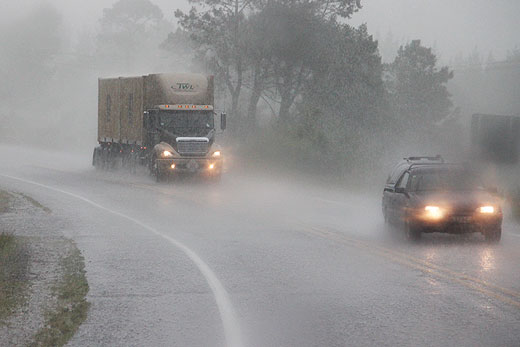
Current models are predicting Cyclone Hola to swiftly skirt the northeast of the North Island during Monday, bringing Severe Weather to eastern parts of the upper North Island. Severe Weather Watches and Warnings have now been issued for Monday, with rain accumulations of as much as 150mm and wind gusts of up to 130km/h forecast for eastern regions from Northland to northern Hawkes Bay.
Heavy rain could cause temporary flooding, and rivers to rise rapidly, while strong winds have the potential to cause damage to powerlines and unsecured items. Heavy swell is also expected over the eastern coastline from Northland through to Gisborne on Monday. Strong onshore winds will also add to the wave heights for Coromandel Peninsula and Gisborne.
'This system is compact but fast moving, meaning that those expected to be impacted should expect weather conditions to change rapidly, so keeping updated with the forecast, Civil Defence and New Zealand Transport Agency is key,” says April.

0 comments
Leave a Comment
You must be logged in to make a comment.