Squally thunderstorms are being forecast for the Bay of Plenty and Coromandel.
The MetService has issued a severe weather watch for the Coromandel, Bay of Plenty, Gisborne, Nelson and Fiordland.
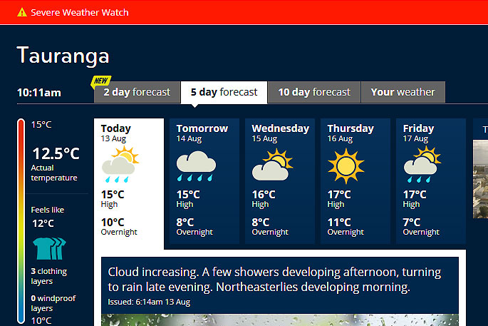
Heavy rain heavy rain is expected to move across the region tomorrow morning.
'A slow-moving front over the west of the lower South Island should weaken this evening as it begins to track northwards tonight,” says the MetService.
'A watch for heavy rain associated with this front remains in force for southern Westland and Fiordland during today.”
Another front in the Tasman Sea is forecast to move eastwards across central and northern New Zealand tonight, then to move away to the east during Tuesday morning, delivering a period of rain with heavy falls and possible squally thunderstorms.
'This watch is for the possibility of rain approaching short duration warning criteria in the Coromandel Peninsula, Bay of Plenty, Gisborne north of Te Puia Springs and northwest Nelson associated with this front.”
In addition, a low, also over the Tasman Sea, is expected to move onto the central North Island Tuesday evening and then to move away quickly to the east Tuesday night, says the MetService.
'This watch covers the possibility of westerly winds approaching severe gale in exposed parts of Northland, Auckland, Coromandel Peninsula, Waikato and Bay of Plenty west of Te Puke.
'People are advised to keep up to date with the latest forecasts in case this Watch is upgraded to a Warning, or other areas are added.”
Heavy Rain Watch
Area: Coromandel Peninsula
Valid: 6 hours from 11pm Monday to 5am Tuesday
Forecast: Expect a brief period of heavy rain and possible squally thunderstorms. Rainfall amounts may approach warning criteria during this time, for example 50mm in 6 hours or less.
Area: Bay Of Plenty
Valid: 6 hours from 3am to 9am Tuesday
Forecast: Expect a brief period of heavy rain and possible squally thunderstorms. Rainfall amounts may approach warning criteria, for example 50mm in 6 hours or less.
Area: Gisborne north of Te Puia Springs
Valid: 6 hours from 5am to 11am Tuesday
Forecast: Expect a brief period of heavy rain. Rainfall amounts may approach warning criteria, for example 50mm in 6 hours or less.
Area: Nelson west of Motueka
Valid: 12 hours from 9pm Monday to 9am Tuesday
Forecast: Periods of heavy rain. Rainfall amounts may approach warning criteria for example, 50 to 60mm in 12 hours.
Area: Fiordland and the ranges of Westland south of Fox Glacier
Valid: 16 hours from 9am Monday to 1am Tuesday
Forecast: Periods of heavy rain. Rainfall amounts may approach warning criteria during this time, for example 80mm in 16 hours.
Strong Wind Watch
Area: Northland, Auckland including Great Barrier Island, Coromandel Peninsula, Waikato and Bay Of Plenty west of Te Puke
Valid: 7 hours from 6pm Tuesday to 1am Wednesday
Forecast: Westerly winds may approach severe gale in exposed places during this time.

0 comments
Leave a Comment
You must be logged in to make a comment.