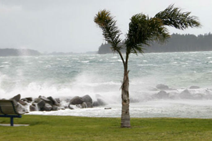
A severe weather watch is in place for strong wind in the Bay of Plenty.
The wind has started picking up in Tauranga, with stronger than normal gusts ripping through the city since around 11am.
The MetService says south to southeast gales may become severe about exposed parts of Taupo, Bay of Plenty, Taranaki, Hawke's Bay, Taihape and Gisborne, and now also the Chatham Islands.
"A low east of the North Island is forecast to cross the country near East Cape today. An unsettled and strong south to southeast flow over central New Zealand is delivering periods of heavy rain to eastern parts of the North Island and gale south to southeasterlies to central and southern parts today and overnight tonight," says a statement from the weather organisation.
"There is a heavy rain in force for the Hawkes Bay and now for the hill country south and west of Gisborne City."
Strong Wind Watch
Area: Bay of Plenty, including Rotorua, Taupo and Taihape
Valid: 7 hours from 8am to 3pm Friday
Forecast: South to southeast winds may approach severe gale strength in some exposed places during this time.
Area: Gisborne
Valid: 6 hours from 8am to 2pm Friday
Forecast: South to southeast winds may approach severe gale strength in exposed places during this time.
Area: Hawke's Bay
Valid: 6 hours from 8am to 2pm Friday
Forecast: South to southeast winds may approach severe gale strength in exposed places during this time, especially along the coast.
Area: Taranaki
Valid: 9 hours from 8am to 5pm Friday
Forecast: Southeast winds may approach severe gale strength in exposed places during this time.
Area: Chatham Islands
Valid: 12 hours from 3pm Saturday to 3am Sunday
Forecast: Strong to gale southeast winds may approach severe gale strength during this time.

0 comments
Leave a Comment
You must be logged in to make a comment.