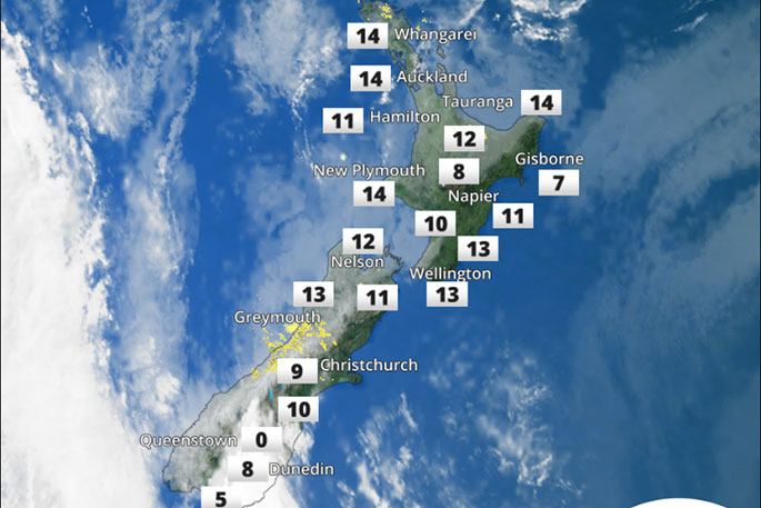
Snow fell overnight and this morning over many parts of the lower South Island and was well forecast over the past couple of days by MetService meteorologists.
Although it may have come as surprise to many people, cold southerly outbreaks are not uncommon during the start of Spring.
'The low pressure system which brought this snow event is currently heading southeast and should clear the South Island this evening," says MetService Meteorologist Andy Best.
"Cold southwest winds in the wake of the low brought snow this morning to parts of Fiordland, Southland and Otago. Queenstown airport, Arrowtown, Lauder, Te Anau and The Milford road were all affected by snow settling this morning as was the Crown range Road, 5 to 10cm of snow settled at Jolly's Pass just north of Lumsden and Cardrona skifield reported 50cm of fresh snow.”
During Tuesday and Wednesday a ridge of high pressure builds across the South Island from the Tasman Sea, delivering mostly fine conditions.
Eventually the ridge moves northeast and breaks down on Thursday, allowing another trough to move onto the lower South Island from Thursday afternoon. This means rain to Southland, Fiordland and southern Westland.
On Thursday expect 17C in Dunedin, 19C in Christchurch, and 21C in Blenheim. But also expect a few overnight frrosts with 2C forecast for Wednesday morning in Queenstown and 1C for Alexandra and Timaru.
A subtropical low is expected to approach seas north of the North Island during Tuesday and Wednesday.
There is currently a severe weather watch in place for Heavy Rain for Northland from 6am Tuesday until 6am Wednesday.
Even though the low itself is not expected to move onto the upper North Island, strong east to southeast winds are expected to affect parts of coastal Northland, Great Barrier Island, the Coromandel Peninsula and parts of Bay of Plenty during Tuesday and Wednesday.
Rainfall accumulations could approach warning amounts about Northland, northeastern parts of Auckland, Coromandel Peninsula, on Tuesday and northern parts of Gisborne from Tuesday to Wednesday.

0 comments
Leave a Comment
You must be logged in to make a comment.