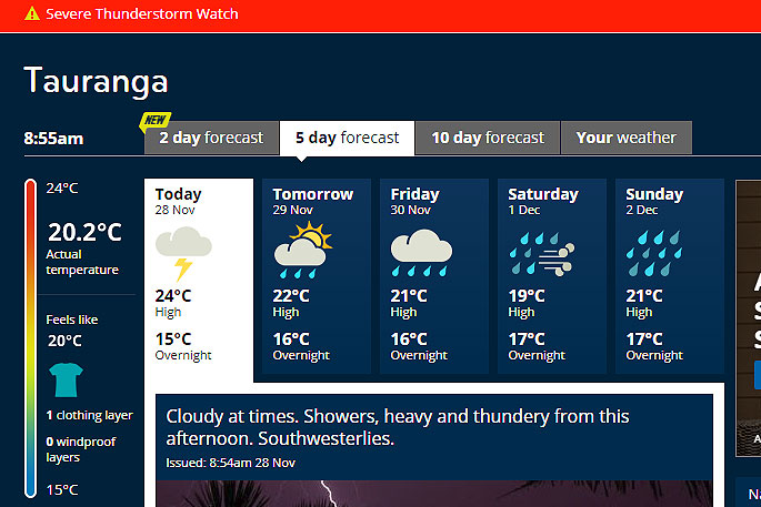
A heavy and thundery afternoon is being forecast for central North Island, including the Western Bay of Plenty.
A severe thunderstorm watch is in place for the Coromandel Peninsula, the Western Bay of Plenty, Waikato, Waitomo, Taumarunui and northern Taranaki.
The MetService says some of these thunderstorms may become severe, producing localised downpours with intensities of 25 to 40mm/hr.
'Rainfall of this intensity can cause surface and/or flash flooding, especially about low-lying areas such as streams, rivers or narrow valleys, and may also lead to slips.
'Driving conditions will also be hazardous with surface flooding and poor visibility in heavy rain. Should severe weather approach or if you feel threatened, take shelter immediately.”
A severe thunderstorm watch means conditions are favourable for severe thunderstorms in and close to the watch area.
'People in these areas should be on the lookout for threatening weather conditions and monitor for possible severe thunderstorm warnings.”

0 comments
Leave a Comment
You must be logged in to make a comment.