The forecast team at WeatherWatch have reported on Sunday morning that we are halfway through a polar surge of air, with temperatures below average nationwide today and tonight.
Expect a brief burst of rain or showers for the eastern North Island with a strong southerly change, and a similar story for the western North Island around Auckland northwards.
Both sides of the island should then dry out as the day goes on with increasing sunny spells despite the colder winds. Showers may return again later as wind flows continue to shift around. Even if the wind only shifts very slightly this can have significant consequences as to whether it will be sunny and dry or cloudy and showery.
Wellington and southern Wairarapa will be exposed to showers all day with the cold southerly flow. Snow showers will continue around the Central Plateau mountains all day and may impact State Highways for a time particularly around Mt Ruapehu.
The driest regions today will be eastern Northland and Bay of Plenty.
Temperatures for the North Island will range from 4 to 14 degrees
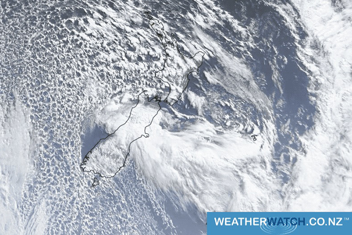
In the South Island, wintry showers will hug the eastern coastline today and coastal Southland at times too. The further inland you are the drier and sunnier it will be.
There will be south to southwest winds for most areas. The sunniest weather will be inland, on the West Coast and around Nelson and Marlborough.
Temperatures for the South Island will range from 6 to 12 degrees.

0 comments
Leave a Comment
You must be logged in to make a comment.