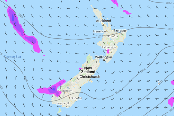
WeatherWatch report a ridge of high pressure is bringing mainly settled conditions to New Zealand on Monday, with plenty of cloud about, especially in the west.
The western North Island has cloudy periods forecast, with perhaps some sun now and then.
There may also be a light shower or two at times moving into the western coastal areas.
The Bay Of Plenty and along the east coast has sunny areas and some high cloud ahead with winds coming from the west.
The West Coast of the South Island has a mostly cloudy day, with a few showers for Fiordland but easing from the afternoon. The high cloud predicted for Nelson, Marlborough and Canterbury will start to clear away from the afternoon, and Canterbury should have light winds tending to southerly for a time in the afternoon and possibly bringing some mid-level cloud.
There will be a few morning showers for Southland and perhaps Otago and then cloud may break to a few sunny areas from the afternoon.
Temperatures are forecast to be in the mid-teens for most of the North Island, and low double figures for the Central North Island.
Temperatures are expected to show highs in the low to mid-teens for Canterbury, Marlborough, Nelson and North Westland; and temperatures in the low double figure arena for the lower South Island and South Westland.

0 comments
Leave a Comment
You must be logged in to make a comment.