
Towards the end of last week, the broad ridge of high pressure which brought cold nights and frosts over much of Aotearoa began moving eastwards.
'A complex trough of low pressure over the Tasman Sea moved onto the country late Thursday, bringing rain in a strengthening, humid northeast flow,” says MetService meteorologist Andy Best.
'During Thursday, 24 hour rainfall totals ranged between 15mm and 30mm on the Westland Buller coasts but between 40 and 50mm in the ranges of the Tasman District as a front passed over the regions.”
By the end of Friday, the front had swept eastwards over much of the country, leaving showers in its wake. However, a lingering low pressure trough over the south of the South Island delivered around 15mm in showers to areas such as Southland including the Southern Lakes, while showery northwesterlies which affected the upper North Island on Friday saw 24 hour rainfall totals between 15 and 20mm over parts of eastern Northland, the Kaimai ranges and the Bay of Plenty.
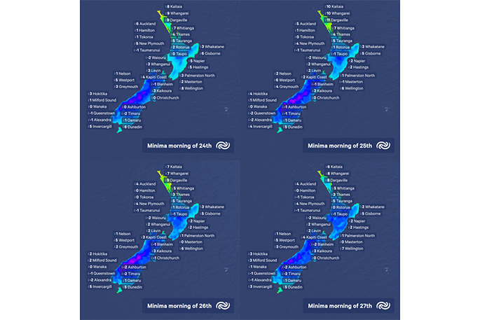
A weak ridge developed over much of the country overnight Friday and during Saturday, bringing clear skies, mists, fogs and frosts to many inland areas. There were -2C frosts over the Central North Island high country as well and many Otago and Southland valleys and basins. Alexandra recorded -2C Saturday morning, Dunedin airport -1C with low cloud and fog at Manapouri, and Timaru.
Early this morning, an area of low pressure and an associated front moved southeast over Northland and Auckland. A few early morning thunderstorms developed close to western coasts with the front, as well as a period of rain. The forecast for the rest of today is for rain over the North Island to gradually give way to showers. A ridge of high pressure gradually builds over the South Island, spreading southerlies over much of the country south of about Napier by the end of today.
Looking ahead, the ridge becomes firmly established as the dominant feature over much of the country this week, bringing settled conditions with cool nights and light winds. However, a weak low over the upper North Island is expected to maintain cloud and showers from Northland to Coromandel Peninsula during Monday and Tuesday.

Papamoa. Photo: Chris Taylor

0 comments
Leave a Comment
You must be logged in to make a comment.