Tauranga City Council is continuing to invest in mapping and planning for natural hazards on behalf of our community.
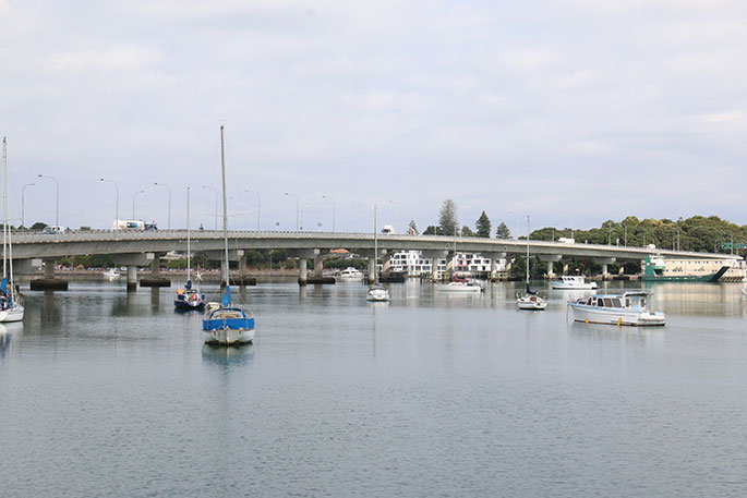
On Monday, council released a new set of data and updated maps that illustrate the potential inundation levels for low lying areas around the Tauranga harbour.
Letters were sent to the owners of approximately 5500 properties that lie within the areas identified as susceptible to inundation around the harbour.
The National Institute of Water and Atmospheric Research (NIWA) carried out this latest study on harbour inundation, which considers a range of storm events and potential sea level rise scenarios out to the year 2130.
Mayor Greg Browness says Tauranga City Council has a well-established history of research into natural hazards.
'It's increasingly important we have an understanding of the potential for flooding from the sea, and the effects of sea level rise over the next 100 years.
"This study provides us with insights on what inundation could look like for our inner harbour margins, allowing us to prepare and plan for the future. It is our duty to enable our residents to do the same."
The updated information is available on council's website at www.tauranga.govt.nz/harbourinundation.
The website includes a map viewer that allows people to explore the outcomes of the modelled inundation for different locations, and consider the extent of inundation for various storm events and changes in sea level rise.
'We want to help our community in understanding the information we hold on natural hazards. This new study and the online viewer give everybody the ability to see how inundation may affect property on the inner harbour," says Greg.
Council will also use the new information when considering resource and building consents applications, and future planning processes.
Community Sessions
Tauranga City Council is holding community sessions to provide the opportunity to meet and discuss this new information with council staff.
Property landowners who received our letter and have further questions are invited to book an appointment at one of the community sessions, held at the following times and locations:
|
Date |
Time |
Location |
|
3 & 4 September 2019 |
3pm - 6pm |
Otumoetai Golf Club |
|
5, 18, 19 & 25 September 2019 |
3pm - 6pm |
Mount Maunganui Surf Club |
|
10 & 12 September 2019 |
3pm - 6pm |
Waipuna Hall, Welcome Bay |
|
11, 17 & 24 September 2019 |
3pm - 6pm |
TCC Offices, Willow Street |
Research on coastal inundation and other hazards is run in partnership with Western Bay of Plenty District Council and Bay of Plenty Regional Council.
Further research on other hazards such as liquefaction, groundwater levels, inundation of the open coast is also in progress.

1 comment
Natural Hazards. !!!
Posted on 20-08-2019 23:02 | By The Caveman
Seems to me -- "Mayor Greg Browness says Tauranga City Council has a well-established history of research into natural hazards." The biggest natural hazard for ratepayers is the RATES increase EVERY YEAR !!! AS for the rest, well ! I have to ask what is the council employee that is coming up with this "stuff" being paid - $150,000 pa. !!! With what REAL outcome in the next 20-30 years !!!
Leave a Comment
You must be logged in to make a comment.