The MetService warns that severe gales are forecast for many parts of New Zealand during the week ahead, with a period of snow to low levels in parts of the South Island.
'A significant severe weather event continues to affect much of the country into early next week,” says a MetService spokesperson.
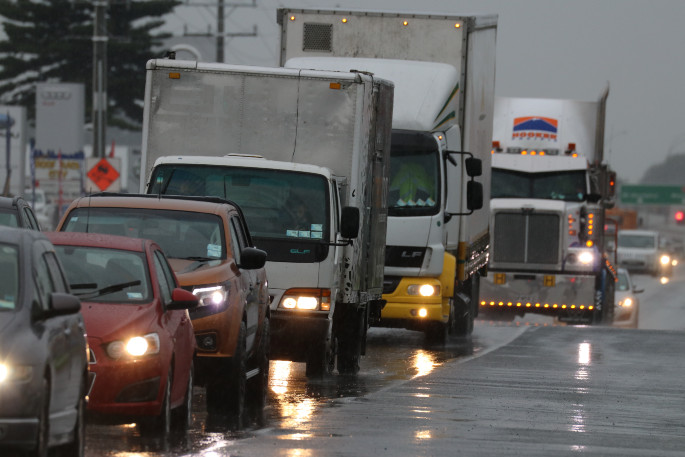
'In particular, severe gales are forecast for many places and could make driving hazardous, especially for high-sided vehicles and motorbikes, while snow is expected down to low levels in many parts of the South Island.
'Additionally, large west to southwest swells are expected on Monday and Tuesday, affecting the west coasts of both islands, and the south and east coasts of central and southern New Zealand.
'Severe Weather Warnings and Watches are now in force for this event.”
The public is urged to take extra precautions and keep up to date with the latest forecasts for their areas, especially those considering travelling.
'The deep low responsible for this weather event is forecast to lie to the southeast of New Zealand on Monday directing cold gale to severe gale northwest to southwest flow across central and southern New Zealand.
'On Monday and Tuesday, snow is forecast to reach low levels in many parts of the South Island, possibly down to sea level in the far south.
'There is moderate confidence of warning amounts of snow above 300 metres in Fiordland, Southland and Clutha on Monday and Tuesday, while the confidence is low for warning amounts of snow above 400 metres in parts of Westland north of Arthur's Pass, Buller and Nelson west of Motueka.”
The MetService says that snow may also affect the Desert Road on Monday and Tuesday.
'In addition, there is high confidence of severe gale northwesterlies in exposed parts of Canterbury, Marlborough, Wellington and Wairarapa south of Featherston while the confidence is low for North Otago, Dunedin and Central Otago.
'Also, later on Monday there is low confidence of severe southwest gales in Dunedin. On Monday and Tuesday, there is moderate confidence of west to southwest gales becoming severe in exposed parts of Buller, parts of Nelson, south Taranaki to Kapiti and across to Wairarapa north of about Featherston and Hawke's Bay south of Hastings, while the confidence is low for the area from Waikato to North Taranaki and across to Gisborne and Hawkes Bay north of Hastings as indicated on the chart.
'On Wednesday, west to southwest flow across the country should ease as a ridge of high pressure over the Tasman Sea approaches New Zealand then moves over the country on Thursday.”

0 comments
Leave a Comment
You must be logged in to make a comment.