The MetService is forecasting a turbulent start to autumn this month.
On average, the waters around Aotearoa are warmer in the first month of autumn than the first month of summer, but around two thirds of the country usually see higher air temperatures in December vs March, says the weather organisation.
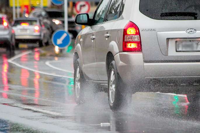
Whilst it will be warm, the beach won't look as tempting in the first few days of autumn this year with plenty of wet weather on the cards.
'A series of fronts move across the country this week, however, it's not until Wednesday or Thursday that a change from subtropical northerlies will bring a reprieve from the sticky nights and hot days," says MetService meteorologist April Clark.
"Rain or showers will affect all parts of the country in the coming days though the west of the South Island and upper North Island will see more widespread rain while other areas which are sheltered by mountains will receive less.”
With the air being so humid over the next couple of days the potential for localised thunderstorms is also on the cards.
For more details on thunderstorm risk for the next 48h see http://bit.ly/TSOutlook
An active cold front forecast to track north over the country during Wednesday and Thursday, is the forerunner to several fronts which will slowly turn winds more southward, bringing cooler temperatures to Aotearoa.
'Putting it simply, the shortening days will not be the reason it may feel like summer has ended come Sunday," says Clark.
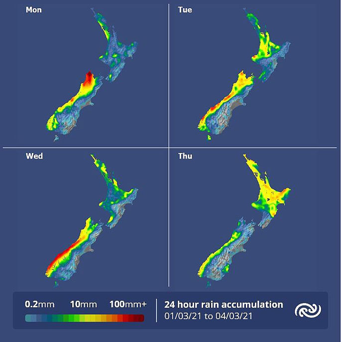 Image: MetService.

0 comments
Leave a Comment
You must be logged in to make a comment.