All residents in the Western Bay of Plenty can now access new liquefaction maps online.
The maps are available on Western Bay of Plenty District Council's website for the entire District and show where ground damage from liquefaction is possible, unlikely or yet to be determined.
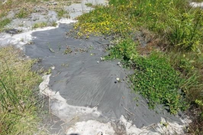
Liquefaction can occur during an earthquake and causes soils, such as sand and silt, to act more like a liquid than a solid.
Earthquake shaking moves the sand and silt in wet soil underground and forces water to the surface taking the silt and sand with it. In this process the ground loses strength and stiffness.
It can tilt and sink and cause damage to property, buildings and infrastructure such as roads, pipes and tanks.
'These maps help us to build a picture of what places, properties and infrastructure could be affected by liquefaction in the event of a large (one in-500-year) earthquake,” says Council's policy, planning and regulatory services group manager Rachael Davie.
'Council will use this data when considering subdivision and building consents, ensuring that the risk to people and buildings are assessed. The District Plan will also be updated to include this information in due course.
'This report will also help Council to implement changes to the Building Code, that see the liquefaction rules currently in place for Canterbury applied across New Zealand. These changes will ensure robust foundations are included when building on liquefaction-prone ground.”
The new information is freely available on Council's website and will be included in property files and land information memoranda requested for properties.
The new liquefaction maps, along with other natural hazards which have already been identified, can be viewed on Council's natural hazards webpage with an interactive online map. Anyone can browse the map or search for a specific property by address.
Council's newest data comes from a region-wide report carried out by Bay of Plenty Regional Council.
The study was done according to Ministry for Business Innovation and Employment / Ministry for the Environment Liquefaction Guidelines (2017).
The updating of Council's hazard maps is a multi-year project undertaken with the Bay of Plenty Regional Council.
The remaining natural hazard maps for the District such as coastal erosion, coastal inundation, tsunami, and landslide will be completed over the coming years.
For more information visit Council's natural hazards webpage at westernbay.govt.nz/liquefaction or call Council's customer services team on 0800 926 732.

0 comments
Leave a Comment
You must be logged in to make a comment.