A severe weather watch has been issued for the Bay of Plenty and Coromandel.
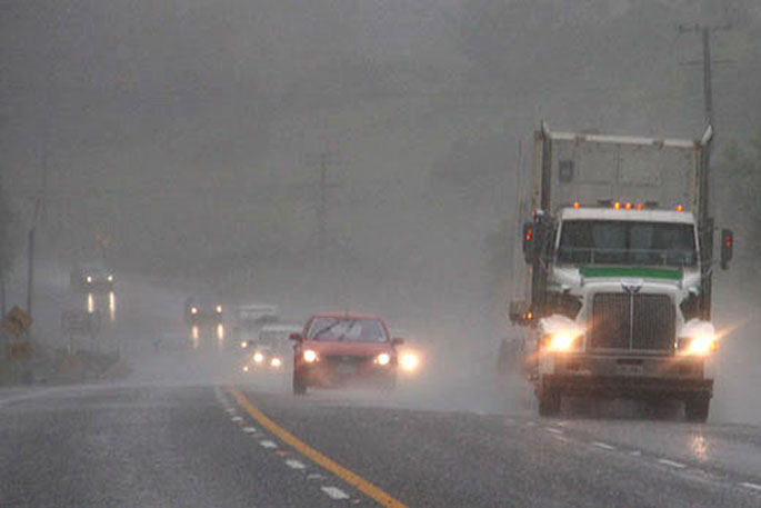
The MetService is forecasting bursts of heavy rain for Coromandel Peninsula, Bay of Plenty and East Cape.
"A front preceded by moist northeasterlies is forecast to move southeast over the North Island during today (Tuesday) and Wednesday morning, bringing rain to much of northern and central New Zealand, with thunderstorms and localised downpours possible," says a spokesperson for the weather organisation.
"Heavy rain watches are now in force for Coromandel Peninsula, Bay of Plenty and about East Cape.
"Please stay up to date with the latest forecasts."
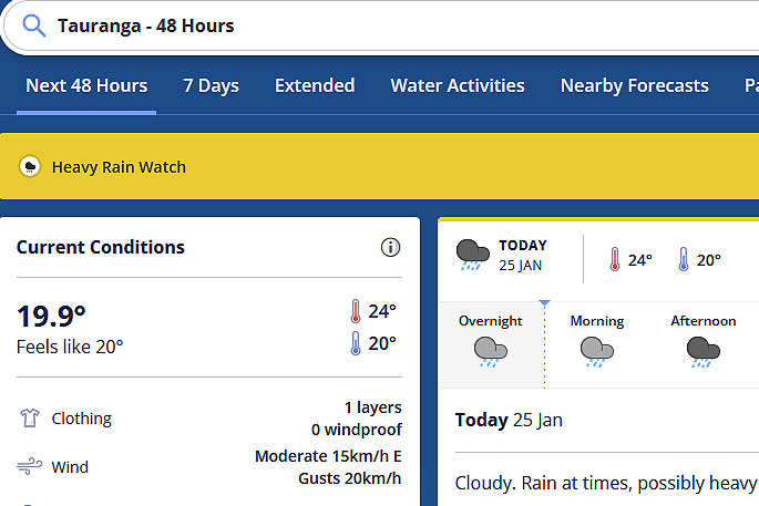 Image: MetService.
HEAVY RAIN WATCH
Area: Coromandel Peninsula
Valid: 9 hours from 7pm Tuesday to 4am Wednesday
Forecast: Periods of heavy rain, with thunderstorms and localised downpours possible. Rainfall amounts may approach warning criteria ( eg 50 to 60mm in 9 to 12h).
Area: Bay of Plenty, especially east of Whakatane, also about East Cape
Valid: 12 hours from 11pm Tuesday to 11am Wednesday
Forecast: Periods of heavy rain, with thunderstorms and localised downpours possible. Rainfall amounts may approach warning criteria ( eg 50 to 65mm in 12h).

0 comments
Leave a Comment
You must be logged in to make a comment.