More flooding is likely across many parts of the Waikato region, with rain falling on already saturated catchments over the next two days, says the Waikato Regional Council.
High river and stream levels may cause localised flooding and landslips, resulting in impacts in parts of the region from Monday evening and through Tuesday.
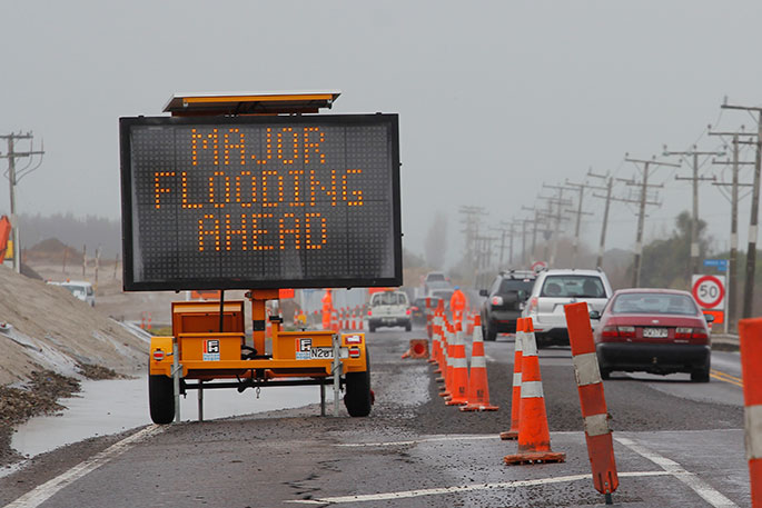
River flooding along low-lying coastal areas may also be exacerbated over high tide periods for all Waikato region coasts.
The council's Regional Flood Response Team has activated to monitor the situation and operational staff are on standby to ensure all flood infrastructure continues to operate as it should.
"Some drainage schemes may be ‘pushed', with rainfall amounts potentially exceeding the designed level of service," says Regional flood coordinator Derek Hartley.
"While the anticipated rainfall and river levels over Monday and Tuesday have not been seen for a number of years, especially along the major river systems of the Waipā, Waikato, Waihou and Piako, no issues are expected with the performance of our flood protection schemes."
Consistent rainfall over much of the region throughout the past week has resulted in elevated river flows and localised minor flooding/ponding in some areas.
While some rivers have either peaked and are currently falling, the forecast rain will elevate rivers further, and larger systems may not peak until later in the week.
Over the last week, most of the council's rainfall monitoring sites have recoderd at least 100mm, with the majority of rain occurring last Friday, says Derek.
Heavy rainfall is forecast to occur across much of the region over Monday and Tuesday, which will sustain river levels and catchment saturation for much of the Waikato region over the next few days.
Further heavy rainfall is possible on Friday (15 July) and the council is also watching a potential weather system for mid next week.
Severe weather warnings are in place for the Coromandel Peninsula and the Taupō area, and a heavy rain watch is in place for the rest of the region.
A strong wind watch is in place of the whole region.
Based on the MetService forecast, storm surge and waves may result in wave overtopping along low-lying parts of the Firth of Thames coast, specifically the high tide on Tuesday morning for the Wharekawa coast (Kaiaua/Miranda).
"At this stage, the impacts of the wave overtopping is likely to be limited to the high tide period, resulting in material across roads and very localised ponding. We are not expecting large scale inundation, as seen along these coastal area in 2018.
The risk of coastal storm surge impacts along other Waikato region coasts is low.
Derek says the council's Regional Flood Response Team has been communicating with its partner agencies across the region to ensure preparedness.
The team will also be monitoring the situation overnight.
People are urged to keep up-to-date with MetService forecasts, as well as updates from their local council, Waka Kotahi NZ Transport Agency, local civil defence and power providers.
For the latest information, including links, visit waikatoregion.govt.nz/flood-room.

0 comments
Leave a Comment
You must be logged in to make a comment.