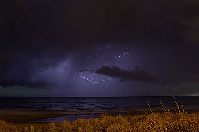
Thunder, lightning and gale force winds are expected to slam and batter the Coromandel in the coming days.
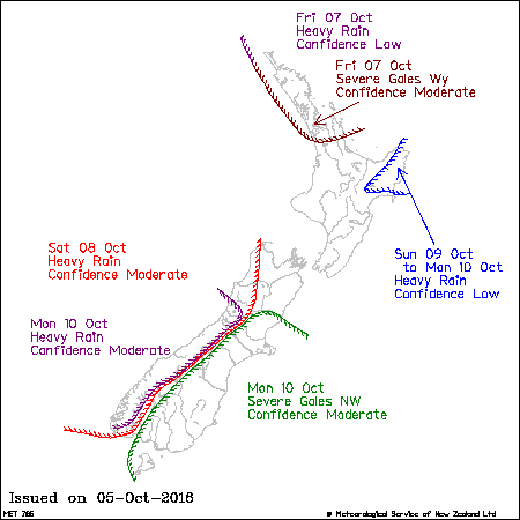
MetService says an active front in the Tasman Sea is expected to bring heavy showers and thunderstorms – and there's a moderate risk of these thunderstorms becoming severe, producing damaging wind gusts in excess of 110km/hr and the chance of a small tornado.
'Wind gusts of this strength can cause some structural damage, including trees and power lines, and may make driving hazardous. If any tornadoes occur, they will only affect very localised areas.
'MetService will continue to monitor the situation closely for severe thunderstorm development and will issue further updates.”
Earlier today the MetService also issued a severe gale warning for the Coromandel from Thursday afternoon until Friday afternoon, including squally thunderstorms.
So no matter where you are on the peninsula – the weather's likely to be unpleasant over the next few days, says the Thames-Coromandel District Council.
'Take time now to secure outdoor furniture and trampolines. Driving conditions will also be difficult with saturated ground conditions increasing the risk of slips and flooding.”
Civil Defence Controller Garry Towler is also reminding everyone to get into the habit of regularly checking in on the MetService and New Zealand Transport Agency websites or the TCDC Facebook page when severe weather is approaching.
'Being informed helps make good decisions,” says Garry.
While further south in the central plateau, the MetService has also issued a snowfall warning for the Desert Road, with showers and hail expected until Friday afternoon.
Sleet is possible about higher parts of the road from tonight until early Friday morning, although little if any snow is likely to settle.
Keep up to date with the latest forecasts and any watches/warnings at metservice.com or on mobile devices at m.metservice.com.
You can also follow updates on MetService TV, on Facebook, @metservice and @MetServiceWARN on Twitter and at blog.metservice.com

0 comments
Leave a Comment
You must be logged in to make a comment.