After a Labour Weekend in which most of the country struck it lucky with warm temperatures and plenty of sunshine, Metservice is forecasting the rain to return to the Bay of Plenty tonight.
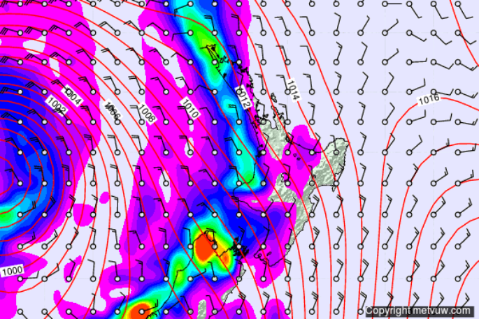
Rain is expected to get heavier on the South Island West Coast this afternoon, with a watch in force for southern Westland where accumulations of up to 70mm in 12 hours are possible between this Monday evening and Tuesday morning.
The rain makes it into the Bay of Plenty and the central plateau tonight, and spreads into most parts through Tuesday. Eastern areas will get the rain last, with a moderate chance of thunderstorms over Otago from Tuesday afternoon and some heavy falls there. The chart below shows what time of day different areas are likely to first receive over 1mm of rain tomorrow. Note that in some places, especially in the east, rainfall will be short-lived.
'Warm temperatures, about average for the time of year, are expected to continue for the next week or so”, said meteorologist Tom Adams. 'The classic spring combination of warmer air and fast moving fronts, followed by a day or two of sun, creates great growing conditions for farmers and gardeners alike.”
Several towns on both islands topped twenty degrees over the weekend, with Alexandra and Dunedin hitting 21 degrees on Saturday and Kawerau and Wainuiomata also warming beyond 21 degrees on Sunday.

0 comments
Leave a Comment
You must be logged in to make a comment.