Judging by the number of fire service call outs, the Western Bay of Plenty escaped most of the impact of last night's storm.
Mount Maunganui fire fighters were called to a power pole down in Lachlan Avenue Mount Maunganui this morning. About 700 Te Puke households awoke without power today, and at 9.20am Greerton fire fighters have been called to a tree over SH36 Pyes Pa road near the Oropi intersection.
Powerco states the power is expected to be restored in Te Puke at about 10am.
Fire fighters in Thames and Te Aroha were also called out to deal with weather related incidents this morning, but Auckland took the brunt of last night's blow. Fire fighters across Auckland recorded 160 calls between 8.30pm and 1.30am.
They were dealing with power lines, trees, trampolines and a variety of loose debris, says NZ Fire Service northern communications centre shift manager Colin Underdown.
'Most of it was all in Auckland overnight, there were a couple in Thames this morning, one in Te Aroha this morning.
'It's been relatively quiet by comparison. Three or four as opposed to a couple of hundred overnight in Auckland. That was all up to about 7pm through to 8.30am. The big rush was from 8.30pm to 1.30am.”
And on daylight there were more calls as people became able to see the damage outside, says Colin.
The fire service wasn't notified of any injuries.
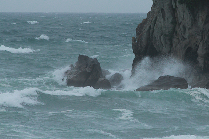
The weather front that brought rain and wind across the North Island last night is expected to blow away today as the northerly winds back around to the west.
The Metservice has issued a severe weather warning for heavy rain for today for parts of the South Island, Mount Taranaki, the ranges of the Eastern Bay of Plenty and the Tararua range.
And for severe Northwest gales for Wairarapa, Wellington and the Marlborough sounds today and severe southwest gales for coastal Otago and Banks Peninsula later today and early Monday.
A deep low is forecast to cross the South Island today bringing strong winds and rain to much of the country.
Further heavy rain is forecast for northern Buller and western Nelson through to late this afternoon, also about eastern Otago, Mt Taranaki and the Tararua Range through to early Monday morning, with 50 to 100mm expected in these areas on top of what has already fallen.
People in these areas are advised to watch out for rapidly rising rivers and streams and possible slips and surface flooding. Note, the rain is expected to ease in all other areas later this morning or afternoon.
Gales are expected over much of the country with the passage of the deep low. Severe north to northwest gales with gusts around 120 km/h are expected about Wairarapa, Wellington and the Marlborough Sounds today with severe south to southwest gales expected about coastal parts of Otago and Banks Peninsula late today and early Monday. Winds of this strength can cause damage to trees, powerlines and unsecured structures and make driving hazardous.

0 comments
Leave a Comment
You must be logged in to make a comment.