The New Zealand Defence Force and GNS Science are joining forces to map the seafloor off the Bay of Plenty coast to better define volcanic structures on and under the seafloor.
The survey, which will use the Royal New Zealand Navy's inshore patrol vessel Hawea, aims to help improve the understanding of the offshore extension of the Taupo Volcanic Zone as it heads northeast from the Bay of Plenty coast.
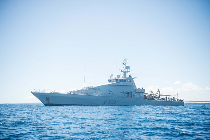
'The NZDF has a longstanding relationship with national scientific bodies and this period of support to GNS Science is a continuation of that relationship,” says Hawea commanding officer Lieutenant Brock West.
'We recognise that this scientific survey is valuable and we are pleased that we can help enable it.”
The survey area will cover about 30,000 square kilometres and extend between East Cape and Coromandel Peninsula and out as far as White Island, 48km from the coast – an area equivalent in size to the province of Otago.
The 10-day project will augment the seafloor bathymetry of the region that has been collected in recent years, mostly by NIWA.
Scientists will use special instruments to collect gravity and magnetic measurements that can clearly recognise geological features such as lavas and volcanic rocks on and under the seafloor.
Commonly these structures can be buried by sediments or obscured by faults and other seafloor structures.
A magnetometer will be towed behind the ship and a gravimeter will collect measurement from a fixed position inside the ship. Both instruments are owned by GNS Science.
GNS Science project leader Cornel de Ronde says the survey will greatly enhance the understanding of the volcanic history of the offshore region.
'Over many years scientists have made detailed observations and measurements of subsurface volcanic structures right up to the Bay of Plenty coast.
'But the area between the coast and White Island is pretty much a void in scientific terms. We are very grateful to the NZDF for offering their support to remedy this.”
Cornel says the end result will be a detailed geophysical map showing seafloor geophysical structures.

0 comments
Leave a Comment
You must be logged in to make a comment.