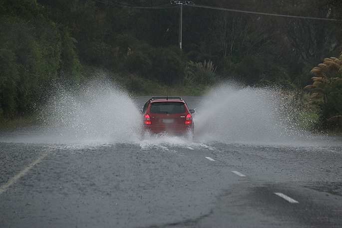
A settled start to this week gradually deteriorated from late Thursday and intends to stay for the rest of the week.
The unsettled weather is forecast to continue for most of the country with a low pressure system poised to move over the lower South Island later today, bringing rain with snow to 500 meters.
This system will move northward on Monday, spreading rain and lowering snow levels about the mountains.
Those intending on driving the higher passes in the South Island are recommended to keep up to date with MetService road snow warnings and NZTA's website.
'The second week of school holiday began with plenty of clear skies, especially for those on eastern coasts, this meant cooler overnight temperatures was the worst of the weather for New Zealand,” says MetService Meteorologist April Clark.
'However, a weak front which crossed the country on Friday was a precursor to another, more active front which continued the July trend of unsettled weekend weather.”
The west of the South Island saw the most persistent heavy rain with the weekend front, though most areas saw a brief period of heavy rain, such as Dargaville recording a hefty 13.2mm burst of rain between 3-4am this morning.
Strong winds also buffeted New Zealand during the weekend with the whole of the South Island placed under a Strong Wind Watch or Warning during Saturday.
Canterbury High County, Wellington and the central plateau saw the strongest winds but more sheltered towns like Nelson were also hit by gusts upwards of 80km/h.
'Luckily the timing of the front's passage over the North Island this weekend meant the worst of the weather was during Saturday evening or early Sunday morning when people were tucked up at home.”


0 comments
Leave a Comment
You must be logged in to make a comment.