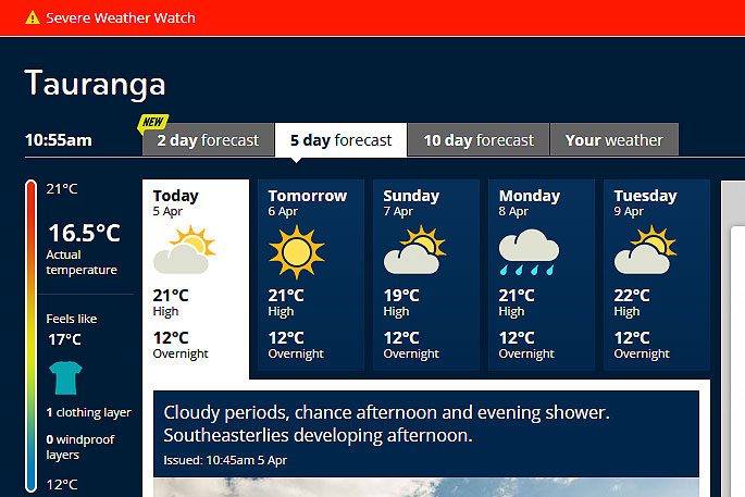
A severe weather watch has been issued for the Bay of Plenty today.
Heavy rain is being forecast for eastern areas of Marlborough and Wellington, southern Wairarapa and also Coromandel Peninsula and Western Bay of Plenty.
'A complex and slow moving trough of low pressure is forecast to affect New Zealand until early Monday, bringing rain or showers to most central and northern regions,” says the weather organisation.
'At this stage, the threat of heaviest rain is in eastern Marlborough especially the Kaikoura Coast, southern Wairarapa, the eastern hills of Wellington, Coromandel Peninsula and Bay of Plenty west of Te Puke.
'A heavy rain watch for the possibility of rainfall accumulations reaching warning criteria is now in force for these areas.
'People are advised to stay up to date with the latest forecasts in case any of these areas are upgraded to a full warning or new areas are added.”
HEAVY RAIN WATCH
Area: Coromandel Peninsula and Bay of Plenty west of Te Puke
Valid: 48 hours from 1am Saturday to 12am Monday
Forecast: Periods of rain with a slow moving trough is expected to affect the area. There is a possibility of localised high intensity rain during this time when rainfall accumulations may approach warning criteria.
Area: Eastern Marlborough mainly about the Kaikoura Coast, southern Wairarapa and the eastern hills of Wellington especially the Orongorongo Range.
Valid: 28 hours from 2pm Saturday to 5pm Sunday
Forecast: Rain possibly heavy. Rainfall accumulations may approach warning criteria.

0 comments
Leave a Comment
You must be logged in to make a comment.