Snow to low levels is expected in many parts of the South Island and central North Island, also west to southwest gales for the lower North Island and Auckland.
A cold and unstable southwest flow spreading north across the country today is forecast to bring snow down to low levels.
Heaviest snow is expected above 100 metres in Southland, Clutha and southern Fiordland, and above 200 metres in Canterbury north of Rangiora and Marlborough south of Ward and a Heavy Snow Warning is in force for these areas. A Watch for Heavy Snow is in place for many other parts of the South Island and also the central North Island.
In addition, west to southwest gales may become severe in exposed parts of southern Hawkes Bay and northern Wairarapa, and also in Auckland and a Strong Wind Watch is in force for these areas.
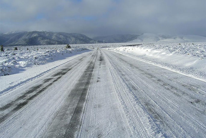
Please note, snow is expected to affect many roads and passes causing significant disruption to transport, essential services and may cause stress to livestock. People are advised to stay up to date with the latest forecasts.
A heavy snow watch has been issued for the following regions:
Area: Taumarunui, Taupo and Taihape
Valid: 19 hours from 6pm Sunday to 1pm Monday
Forecast: Snow showers are expected to lower to 400 metres. Snow accumulations may approach warning criteria above 600 metres.
Area: Kahurangi National Park
Valid: 19 hours from 2pm Sunday to 9am Monday
Forecast: Snow showers are forecast to lower to 300 metres. Snow accumulations may approach warning criteria.
Area: Nelson Lakes, Buller, and Westland north of Otira
Valid: 9 hours from 1pm to 10pm Sunday
Forecast: Snow showers are forecast to lower to 200 metres. Snow accumulations may approach Warning criteria.
Area: Fiordland, from George Sound northwards
Valid: 30 hours from 9am Sunday to 3pm Monday
Forecast: Snow showers are expected down to 100 metres. Snow accumulations may approach warning criteria above 200 metres.
Area: Southern parts of Central Otago and the Southern Lakes
Valid: 31 hours from 9am Sunday to 4 pm Monday
Forecast: Snow showers are expected and accumulations may approach warning criteria in some places.
A strong wind watch has been issued for the following regions:
Area: Auckland
Valid: 6 hours from 3am to 9am Monday
Forecast: Southwest gales may become severe in exposed places.
Area: Hawkes Bay south of Hastings, Tararua District and Wairarapa north of Masterton
Valid: 16 hours from 9am Sunday to 1 am Monday
Forecast: Westerly gales may become severe in exposed places from 7pm this evening until early Monday morning.

0 comments
Leave a Comment
You must be logged in to make a comment.