Squally thunderstorms and hail are being forecast for the Bay of Plenty this afternoon.
The MetService says periods of rain are being accompanied by gusty northwesterlies today, with the chance of squally thunderstorms and hail, especially in the afternoon.
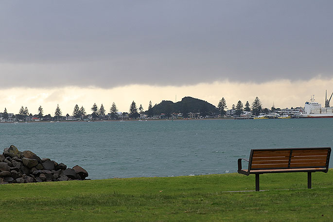
A heavy rain watch has been issued for the region.
'A disturbed west to northwest flow affects New Zealand on Thursday, bringing periods of rain to parts of the upper North Island.
'The heaviest rain is expected in Waitomo, Taumarunui, Taupo, northern Taranaki including the Mountain, Taihape, and Bay of Plenty especially east of Te Puke, and a Heavy Rain Watch is in force for these areas.
'In addition, northwest gales may become severe in exposed parts of Northland, Auckland, Great Barrier Island and Coromandel Peninsula early Friday morning and a Strong Wind Watch is in force for these areas.”
Heavy Rain Watch
Area: Bay Of Plenty including Rotorua
Valid: 12 hours from 9am to 9pm Thursday
Forecast: Periods of rain are expected, with heavy falls and possible thunderstorms especially east of Te Puke. Rainfall accumulations may approach warning criteria.
Area: Waitomo, Taumarunui, Taupo, northern Taranaki including the Mountain, and Taihape
Valid: 18 hours from 3am to 9pm Thursday
Forecast: Periods of rain, with heavy falls and possible thunderstorms. Rainfall accumulations may approach warning criteria in these areas.
Strong Wind Watch
Area: Northland, Auckland, Great Barrier Island and Coromandel Peninsula
Valid: 5 hours from 1am to 6am Friday
Forecast: Northwesterlies may become severe in exposed places during this time.

0 comments
Leave a Comment
You must be logged in to make a comment.