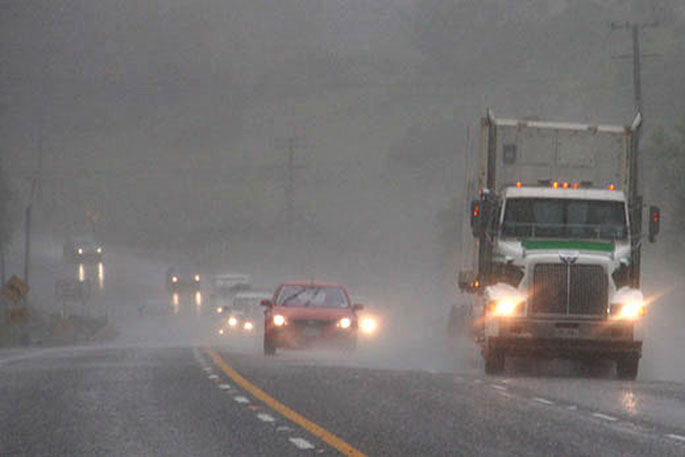
A severe weather watch is in force for the Coromandel area.
The MetService issued the watch this morning saying there is a chance for heavy rain between 6pm Sunday and 11pm on Monday.
"A front, preceded by strong northerly winds, moves onto the South Island from the west today and lies over the upper South Island tomorrow.
"A low should affect the upper North Island tomorrow and Monday. These features are expected to bring periods of heavy rain to the west of the South Island and upper North Island."
Heavy Rain Warnings are in force for southern and central Westland, the Otago headwaters and northwest Nelson. Heavy Rain Watches are in force for Fiordland, northern Westland, Buller, the Canterbury headwaters, Richmond Range, Northland and Coromandel Peninsula.
In addition, Strong Wind Watches are in force for Fiordland, inland parts of Southland and Otago, the Canterbury High Country, Northland and Auckland.
"People are advised to keep up to date with the latest forecasts in case any Watches are upgraded to Warnings, or further areas are added," says the weather organisation.
Heavy Rain Warning
Heavy rain may cause streams and rivers to rise rapidly. Surface flooding and slips are also possible and driving conditions may be hazardous.
Area: The ranges of Nelson west of Motueka
Valid: 21 hours from 9pm Saturday to 6pm Sunday
Forecast: Expect 90 to 120mm of rain to accumulate. Peak rates of 10 to 15mm/h.
Area: Westland south of Otira
Valid: 15 hours from 12pm Saturday to 3am Sunday
Forecast: Expect 100 to 150mm of rain to accumulate about the ranges, with 50 to 80mm near the coast. Peak rates of 15 to 25mm/h about the ranges.
Area: The headwaters of the Otago lakes and rivers
Valid: 10 hours from 12pm to 10pm Saturday
Forecast: Expect 80 to 120mm of rain to accumulate on the divide, and 60 to 80mm within 15km east of main divide. Peak rates of 10 to 15mm/h.Heavy Rain Watch
Area: Richmond Range including Rai Valley
Valid: 18 hours from 9pm Saturday to 3pm Sunday
Forecast: Periods of heavy rain. Rainfall amounts may approach warning criteria.
Area: The headwaters of the Canterbury lakes and rivers
Valid: 12 hours from 2pm Saturday to 2am Sunday
Forecast: Periods of heavy rain. Rainfall amounts may approach warning criteria within 15km east of the main divide.
Area: Fiordland
Valid: 8 hours from 10am to 6pm Saturday
Forecast: A period of heavy rain. Rainfall amounts may approach warning criteria.
Area: Northland
Valid: 24 hours from 6am Sunday to 6am Monday
Forecast: Periods of heavy rain. Rainfall amounts may approach warning criteria.
Area: Coromandel Peninsula
Valid: 29 hours from 6pm Sunday to 11pm Monday
Forecast: Periods of heavy rain. Rainfall amounts may approach warning criteria. Note, heavy rain may continue into Tuesday.
Area: Buller and Westland from Otira northwards
Valid: 16 hours from 9pm Saturday to 1pm Sunday
Forecast: Periods of heavy rain. Rainfall amounts may approach warning criteria, especially about the ranges.
Strong Wind Watch
Area: Northland
Valid: 9 hours from 6pm Sunday to 3am Monday
Forecast: Northeast winds may approach severe gale in exposed places.
Area: Auckland
Valid: 12 hours from 9pm Sunday to 9am Monday
Forecast: Northeast winds may approach severe gale in exposed places.
Area: Canterbury High Country
Valid: 14 hours from 9am to 11pm Saturday
Forecast: North to northwest winds may approach severe gale in exposed places.
Area: Inland Southland, Southern Lakes and Central Otago
Valid: 9 hours from 9am to 6pm Saturday
Forecast: North to northwest winds may approach severe gale in exposed places.

0 comments
Leave a Comment
You must be logged in to make a comment.