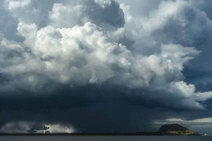
A Severe Weather Watch has been issued by MetService for parts of New Zealand, with thunderstorms possible for the Bay of Plenty.
Heavy rain is expected for parts of the upper North Island and for parts of the South Island from Wednesday.
"A low to the west of the upper North Island directs a moist and unstable northeasterly flow over the upper North Island," says a MetService spokesperson.
"A Heavy Rain Warning remains in force for Northland and the Watch for heavy rain for the Coromandel Peninsula has been upgraded to a Warning.
"Heavy Rain Watches are in force for eastern parts of Auckland north of Orewa, Great Barrier Island and Bay of Plenty west of Tauranga."
A moist northerly flow with embedded fronts is expected to bring heavy rain to many areas on Wednesday and Thursday.
The MetService has also issued a Watch for heavy rain for Fiordland, Westland south of Otira and the headwaters of the Canterbury and Otago lakes and rivers.
People are advised to stay up to date with the latest forecasts in case any changes are made.
A Heavy Rain Watch is in place for the following regions:
Area: Eastern parts of Auckland north of Orewa, also Great Barrier Island
Valid: 18 hours from 7:00 pm Monday to 1:00 pm Tuesday
Forecast: Periods of rain, with localised downpours and thunderstorms possible. Rainfall accumulations may approach warning criteria.
Area: Bay Of Plenty west of Tauranga
Valid: 24 hours from 7:00 pm Monday to 7:00 pm Tuesday
Forecast: Periods of rain, with heavy falls and thunderstorms possible. Rainfall accumulations may approach warning criteria.
Area: Fiordland, Westland south of Otira and the headwaters of the Canterbury and Otago lakes and rivers.
Valid: 36 hours from 11:00 am Wednesday to 11:00 pm Thursday
Forecast: Periods of heavy rain. Rainfall amounts may approach warning criteria. Note that Warning amounts of rain are considered likely and this Watch will probably be upgraded to a Warning.

0 comments
Leave a Comment
You must be logged in to make a comment.