MetService has issued a severe thunderstorm watch for the upper North Island.
This watch affects people in Northland, Auckland, Great Barrier Island, Coromandel Peninsula, Waikato, Waitomo, Bay of Plenty, Rotorua and Taranaki.
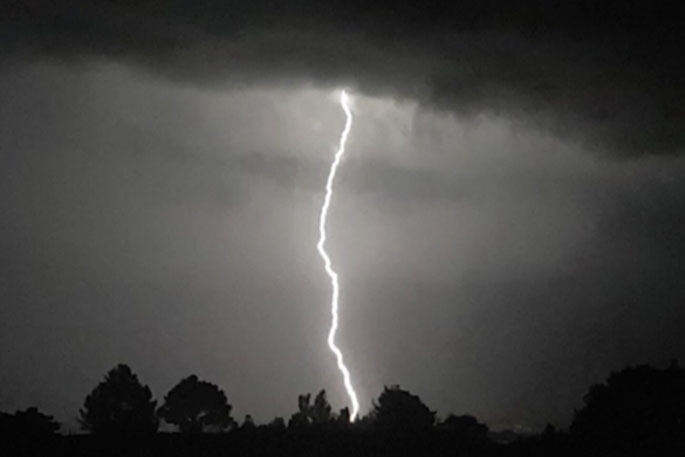
"An active front is expected to move across the west and north of the North Island during Thursday, bringing squally thunderstorms with heavy rain and hail, and a chance of a small tornado," says a MetService spokesperson.
"There is a moderate risk of these thunderstorms becoming severe, producing localised downpours with intensities of 25 to 35 mm per hour, damaging wind gusts in excess of 110 km per hour, and the chance of a localised damaging tornado."
Rainfall of this intensity can cause surface and/or flash flooding, especially about low-lying areas such as streams, rivers or narrow valleys, and may also lead to slips.
Driving conditions will also be hazardous with surface flooding and poor visibility in heavy rain.
Wind gusts of this strength, and damaging tornadoes can cause structural damage, including trees and power lines, and may also make driving hazardous.
"Note, thunderstorms could become severe from Northland to Taranaki from about 6am to 2pm, and potentially severe in the Bay of Plenty and Rotorua from about 9am to 4pm."
A Severe Thunderstorm Watch means conditions are favourable for severe thunderstorms in and close to the watch area. People in these areas should be on the lookout for threatening weather conditions and monitor for possible Severe Thunderstorm Warnings.
For information on preparing for and keeping safe during a storm, see the Civil Defence Get Ready website

0 comments
Leave a Comment
You must be logged in to make a comment.