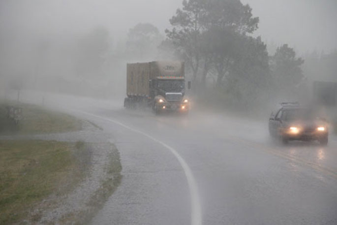
More heavy rain, more severe gales and more heavy snow is being forecast for many areas of New Zealand today.
The MetService has issued a severe weather watch for heavy rain for the Bay of Plenty this morning.
"A strong unsettled west to northwest flow lies over New Zealand, with several embedded troughs and frontal features bringing heavy rain, strong winds and snow across many areas," says a spokesperson for the weather organisation.
"Note that the unsettled weather is expected to continue at least until Monday, and further watches and warnings for heavy rain, severe gales and heavy snow are likely to be issued.
"Finally, severe thunderstorms are possible for some areas. Please check the latest thunderstorm outlook for more information.
"People are advised to keep up to date with the latest forecasts in case any changes are made."
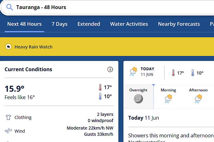 Image: MetService.
HEAVY RAIN WATCH
Image: MetService.
HEAVY RAIN WATCH
Area: Bay of Plenty east of Whakatane Valid: 10 hours from 10am to 8pm Sunday Forecast: Periods of heavy rain. Rainfall amounts may approach warning criteria.
Area: The north of Taranaki and Taihape, the west of Taupo,Taumarunui and Waitomo Valid: 20 hours from 10am Sunday to 6am Monday Forecast: Periods of heavy rain. Rainfall amounts may approach warning criteria.
Area: Horowhenua to Wellington north of Johnsonville and the Tararua Range Valid: 40 hours from 6am Sunday to 10pm Monday Forecast: Periods of heavy rain. Rainfall amounts may approach warning criteria.
Area: Westland north of Otira and Buller. Valid: 35 hours from 6am Sunday to 5pm Monday Forecast: Periods of heavy rain and possible thunderstorms. Rainfall amounts may approach warning criteria, mainly about the ranges. Freezing level about 1700 metres at first, lowering to about 1300 metres during Sunday. Much of this precipitation is likely to fall as snow above about 1200 metres Sunday morning but snow levels are expected to lower to about 800 metres Sunday evening.
HEAVY SNOW WATCH
Area: Central Otago and the Queenstown Lakes District about and north of Alexandra to Arrowtown, and the Canterbury High Country west of Otematata and about and south of Mount Cook village Valid: 9 hours from 9am to 6pm Saturday Forecast: Snow lowering to 300 metres this morning with periods of heavy snow possible above about 700 metres. Snow amounts may approach warning criteria above 700 metres.
Area: Central Otago and the Queenstown Lakes districts south of about Alexandra to Arrowtown Valid: 7 hours from 9am to 4pm Saturday Forecast: Periods of heavy snow. Snow amounts may approach warning criteria.
STRONG WIND WATCH
Area: Taranaki to Kapiti, Taihape, Gisborne, Hawke's Bay and Wairarapa north of about Featherston Valid: 30 hours from 5pm Sunday to 11pm Monday Forecast: Northwest winds may approach severe gale at times.

0 comments
Leave a Comment
You must be logged in to make a comment.