
Unpredictable spring weather is continuing this week, with more heavy rain on the cards for the Bay of Plenty.
A heavy rain warning issued by the MetService yesterday is no longer in force, but a heavy rain watch is in place.
"A front over the North Island, which has brought some heavy rain to the eastern Bay of Plenty is moving away to the east this morning followed by a complex trough from central New Zealand and the Tasman Sea," says a spokesperson for the weather organisation.
"This trough is expected to become slow moving over the country tonight and tomorrow (Thursday) as a low deepens and approaches the upper North Island from the northeast.
"This low is expected to bring further rain to the North Island, with heavy falls possible about eastern and northern areas and a Watches are now in force for the Coromandel Peninsula, western Bay of Plenty, Gisborne and the Hawke's Bay.
"People are advised to keep up to date with the latest forecasts in case any changes are made, or further areas are added."
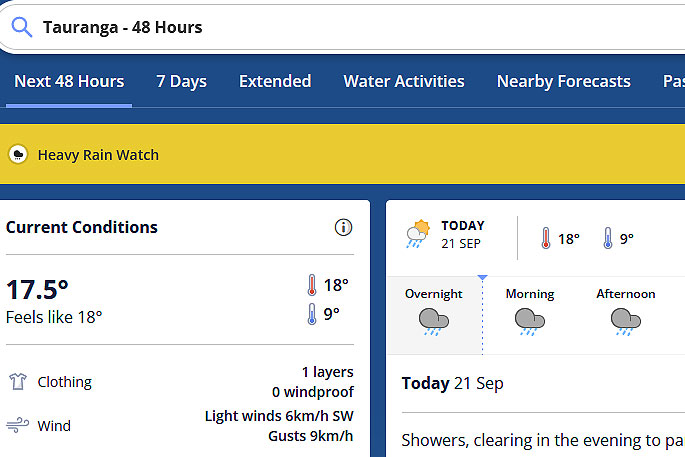 Image: MetService.
HEAVY RAIN WATCH
Area: Coromandel Peninsula and Bay of Plenty west of Tauranga
Valid: 15 hours from 6pm Thursday to 9am Friday
Forecast: Period of heavy rain. Rainfall amounts may reach warning criteria, however, the amount and duration are uncertain at this stage.
Area: Gisborne
Valid: 23 hours from 4pm Thursday to 3pm Friday
Forecast: Period of heavy rain. Rainfall accumulations could reach warning amounts and a Warning is possible.
Area: Hawke's Bay
Valid: 24 hours from 9pm Thursday to 9pm Friday
Forecast: Period of heavy rain. Rainfall amounts may exceed warning criteria, especially in the ranges.

0 comments
Leave a Comment
You must be logged in to make a comment.