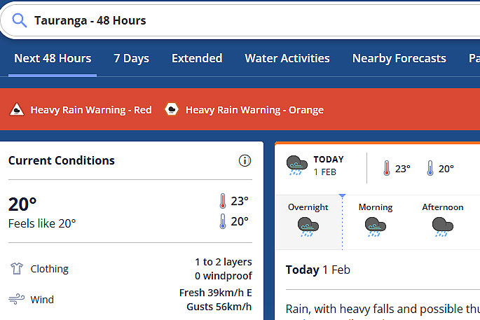
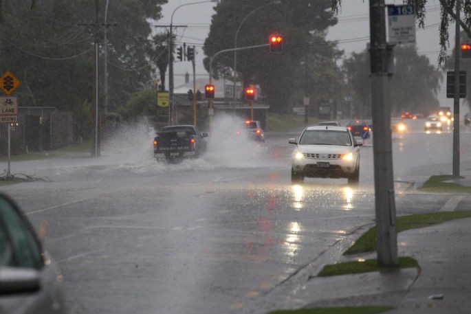
Red heavy rain warnings remain in place for Coromandel Peninsula and Bay of Plenty west of Kawerau.
Orange heavy rain warnings remain in place for Bay of Plenty about and east of Kawerau, northern Gisborne, and now Westland.
The Bay of Plenty Regional Council reports up to 30mm of rain fell in the hills behind Te Puke overnight, and less than 10mm has been recorded at most sites around the region.
"However, as a precaution for the forecasted weather to come, we have activated the Flood Room at 8.30am," says a post on the council's Facebook page.
"This means our flood team is set up in our dedicated Flood Room (based in Whakatāne) and will be closely monitoring the situation as it develops.
"We also have operations staff out in the field, who are checking the condition of our flood infrastructure, assessing the weather conditions in key areas and pumping out flood waters from affected drainage canals."
You can find out more about the Flood Room here: boprc.govt.nz/living-in-the-bay/emergencies/flood-room
 Image: MetService.
Further heavy rain is expected for northeastern parts of the North Island, says a MetService spokesperson.
"A front moves southwards over the North Island today and Thursday, bringing further heavy rain to northeastern parts of the Island.
"Meanwhile, a couple of troughs and fronts are expected to affect the west of the South Island through to Friday.
"Heavy rain watches remain in place for Waikato, Mount Taranaki and western Tasman, and now northern Fiordland.
"People are advised to keep up to date with the latest forecasts in case any changes are made, or further areas are added."
Heavy Rain Warning - Red
This rain is expected to cause dangerous river conditions and significant flooding. Slips and floodwaters are likely to disrupt travel, making some roads impassable and possibly isolating communities.
Area: Coromandel Peninsula
Valid: 7 hours from 9am Wed 1 Feb to 4pm Wed 1 Feb
Forecast: Expect a further 50 to 80 mm of rain about the ranges on top of what has already fallen, with lesser amounts about the coast. Peak rates of 10 to 15 mm/h, especially about the ranges. Thunderstorms are also possible.
Area: Bay of Plenty west of about Kawerau, this includes the Rotorua Lakes District, Western Bay of Plenty District and Tauranga City
Valid: 12 hours from 9am Wed 1 Feb to 9pm Wed 1 Feb
Forecast: Expect a further 70 to 100 mm of rain on top of what has already fallen, especially inland. Peak rates of 10 to 20 mm/h.
Heavy Rain Warning - Orange
Heavy rain may cause streams and rivers to rise rapidly. Surface flooding and slips are also possible and driving conditions may be hazardous.
Area: Bay of Plenty about and east of Kawerau, also Gisborne north of Ruatoria
Valid: 21 hours from 1pm Wed 1 Feb to 10am Thu 2 Feb
Forecast: Expect 90 to 120 mm of rain. Peak rates of 10 to 20 mm/h, especially about the ranges.
Area: Westland south of Otira
Valid: 36 hours from 4am Thu 2 Feb to 4pm Fri 3 Feb
Forecast: Periods of heavy rain. Expect 200 to 300 mm of rain to accumulate about the ranges, and 70 to 110 mm near the coast. Peak rates of 15 to 25 mm/h about the ranges. Thunderstorms are possible.


0 comments
Leave a Comment
You must be logged in to make a comment.