Strong swells and surging sea waves combining with the full tide in Tauranga this afternoon are concerning some local residents.
"Two hours before full tide, the water was already high," says one SunLive reader who lives at a Tauranga harbourside property in Te Puna.
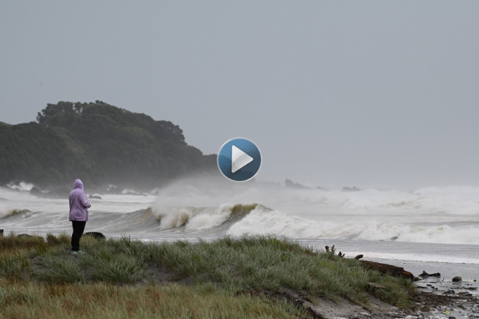
A video sent to SunLive by a Tauranga resident also shows the impact of the swells near the Marine Parade and Oceanbeach Road roundabout.
Both Mauao and Moturiki at Mount Maunganui are closed off to ensure public safety. The situation is being monitored and will be reassessed on Tuesday.
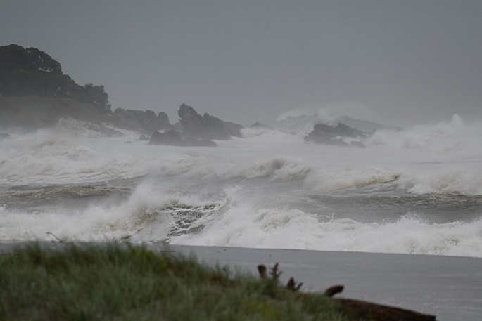
Waves were pounding Mount Maunganui beach at high tide around 1.18pm today.
Western Bay of Plenty District Council is encouraging everyone in low lying coastal and harbourside environments to prepare to self-evacuate from their homes now.
Ōpōtiki Mayor, David Moore has declared a state of emergency for the Ōpōtiki district. The mayor says that the declaration was done early given the district's unique situation – long coastlines, vulnerable roads and history of issues in extreme weather events.

Waves at Mount Maunganui Main Beach. Photo: David Hall.
Cyclone Gabrielle is bearing down on the North Island, and despite widespread damage and disruption last night and this morning, the worst weather is still to come for many regions today.
MetService forecasters, in collaboration with local councils and Civil Defence, continue to update the Severe Weather Warnings pertaining to ongoing heavy rain and severe gale strength wind.
'This is a major weather system and shouldn't be taken lightly," says meteorologist Angus Hines.
'We have a couple more days of wild weather ahead. We've never had such an extensive range of Red Severe Weather Warnings – which are the highest classification of Severe Weather Warning MetService can issue.”

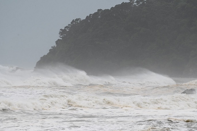
Waves at Mount Maunganu's Shark Alley next to Moturiki. Photo: David Hall.
Cyclone Gabrielle has been generating extremely strong wind about the upper North Island. Wind gusts have exceeded 130km per hour in parts of Auckland, and 150km per hour in exposed parts of Northland. Trees and powerlines have been damaged, as has people's property, including rooves and outdoor furniture.
As Gabrielle moves southeast in the next 36 hours, the angle of the wind across the upper North Island will change as they wrap around the moving centre, but the wind speed stays very high.
Red Wind Warnings remain in force for Northland, Auckland, and the Coromandel Peninsula, and Taranaki's Wind Warning has been upgraded to Red this morning. Orange Wind Warnings blanket all remaining North Island locations as well as the top half of the South Island, meaning wind damage is possible almost anywhere. There is expected to be a gradual easing to the wind late on Tuesday, and throughout Wednesday.
Once again, northern parts of the North Island will be drenched by persistent heavy rain. Red Rain Warnings are active for intense rainfall over Northland, Auckland, the Coromandel Peninsula, and the north of the Tairāwhiti/Gisborne area.
'All of these places have already dealt with immense rainfall this year, and lots of them are in clean up mode from recent flooding,” says Angus.
'Unfortunately, we expect further flooding, slips power outages, and road closures Monday and Tuesday, prolonging this unprecedented wet summer.”
Eastwards facing parts of the country – Hawke's Bay, Wairarapa, Marlborough and Kaikōura are all expected to get heavy rain as well and have Orange Rain Warnings in place with Gisborne on a Red Warning.
While Gabrielle has been affecting the atmosphere, it is also having a major impact on our oceans. Enormous waves are battering eastern coastlines of the North Island, which may wash onto coastal roads and property, particularly about high tide (early this afternoon for those areas). Conditions can get dangerous quickly, and people are advised to steer clear of beaches.


0 comments
Leave a Comment
You must be logged in to make a comment.