A state of emergency has been declared in Gisborne.
State Highway 35 north of Gisborne will be closing on Monday evening, as high winds, flooding and fallen debris are expected around both Hawke's Bay and Gisborne regions.
Road users should avoid all unnecessary travel if possible as more rain is forecast to hit the area in the coming hours.
Waka Kotahi NZ Transport Agency contractors will continue to monitor all state highways around Gisborne.
System manager for Gisborne and Hawke's Bay, Martin Colditz says caution is advised when travelling around the Gisborne region as well as in Hawke's Bay.
'High winds and heavy rain are forecast throughout the day and into tonight - motorists need to take extra care and drive to the conditions.”
Gisborne region
SH35 from Ōpōtiki to Gisborne will be closed to through traffic from 7pm tonight, Monday February 13.
'However, motorists should be aware, there's a strong likelihood the road will be closed earlier than that – at some point this afternoon.”
SH35 has also been closed this afternoon between Te Puia Springs and Ruatoria, because of flooding.
'With this evening's planned closure, we're wanting to give people working away from home as much opportunity to get home before the road closes,” says Martin.
'There are a few risks on the road during this weather, especially around coastal areas which could be exposed to storm surges, wind and rain.
'Our preference is always to keep the network as open as possible. Our priority is also the safety of all road users and our contractors, and for that reason, we may need to take a decision to close a stretch of state highway. Those decisions aren't taken lightly, with all factors considered, and we realise the importance of letting people know as soon as possible,” says Martin.
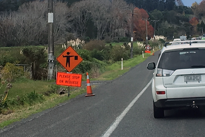
There is traffic management at the closure site.
Hawke's Bay
'The main concern currently in Hawke's Bay is for high sided vehicles travelling on SH5 Napier – Taupō highway,” says Martin.
'There's a strong wind warning in place, and road users need to be careful and drive to the conditions.
'The same message applies for all road users in Hawke's Bay – be alert for any signs of flooding, especially on SH2 north of Napier, and slips or debris,” says Martin.
'These road closures will be reassessed from tomorrow [Tuesday] morning, as crews return to site after the night closures.
'I want to thank all road users for their patience and understanding.
'We're advising people in all areas affected to avoid travel, but if you must travel, please sure you're checking for the very latest weather conditions with MetService, and the latest road closures via the Waka Kotahi Journey Planner.”
Journey Planner is updated 24/7 by Waka Kotahi traffic operations centres, and is the best source of the most recent and reliable information available on state highway closures and disruptions. Remember to refresh the page when checking the status of highways to ensure that the latest updates are displayed.
Plan ahead for a safe, enjoyable journey. Keep up to date with:
- Traffic updates: journeys.nzta.govt.nz/traffic
- Facebook: facebook.com/WakaKotahiHBG
- Twitter: twitter.com/WakaKotahiCNI
- Journey planner: journeys.nzta.govt.nz
- Phone: 0800 4 HIGHWAYS (0800 44 44 49)


0 comments
Leave a Comment
You must be logged in to make a comment.