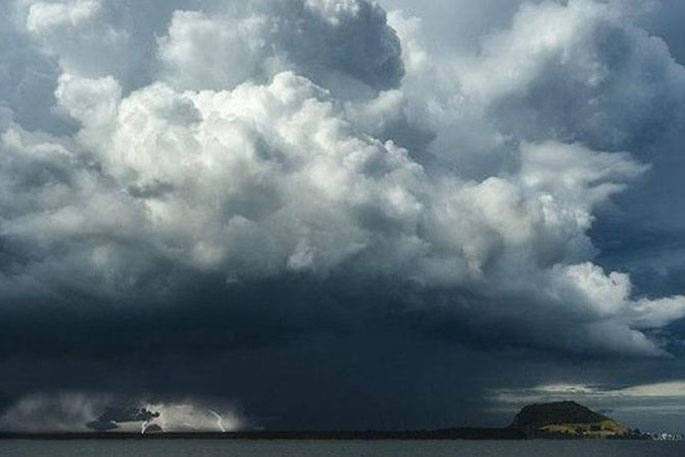
A thunderstorm watch is currently in place for the Bay of Plenty and Coromandel.
Thunderstorms are expected to develop this afternoon, says a statement from the MetService.
"For the Coromandel Peninsula from the Coromandel Township southwards, the Hauraki Plains and Bay of Plenty from Te Puke westwards, some of these thunderstorms may become severe, producing downpours with intensities of 25 to 40 mm per hour.
"The thunderstorms are expected to ease this evening."
MetService says rainfall of this intensity can cause surface and/or flash flooding, especially about low-lying areas such as streams, rivers or narrow valleys, and may also lead to slips.
"Driving conditions will also be hazardous with surface flooding and poor visibility in heavy rain.
"A Severe Thunderstorm Watch means conditions are favourable for severe thunderstorms in and close to the watch area. People in these areas should be on the lookout for threatening weather conditions and monitor for possible Severe Thunderstorm Warnings.
"For information on preparing for and keeping safe during a storm, see the Civil Defence Get Ready website."
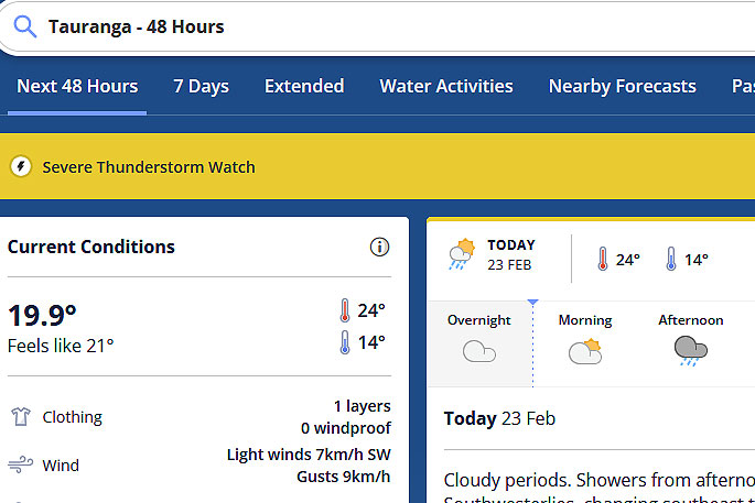 Image: MetService.
Area: Coromandel Peninsula, Waikato, Bay of Plenty
Valid: 7 hours from 3pm Thu 23 Feb to 10pm Thu 23 Feb

0 comments
Leave a Comment
You must be logged in to make a comment.