A thunderstorm watch remains in place for the Bay of Plenty today, while a severe weather watch for heavy rain is being added to the region.
A complex trough of low pressure remains over the North Island for the next few days before moving away to the south late Saturday, bringing rain with heavy falls to parts of northern and central New Zealand, and possible thunderstorms with downpours.
"Orange Heavy Rain Warnings remain in place for Hawke's Bay, Gisborne and the Coromandel Peninsula, with significant rainfall expected in areas recently affected by Cyclone Gabrielle," says the latest update from the MetService.
"A Heavy Rain Watch remains in place for Auckland, northern Waikato, Western Bay of Plenty and Wairarapa (including the Tararua District), while Heavy Rain Watches are now in force for eastern parts of both Taihape and Marlborough.
"Finally, Severe Thunderstorm Watches are also in force for parts of the North Island.
"People are strongly urged to keep up to date with the latest forecasts, in case any changes are made, or further areas are added." Heavy Rain Watch Area: Auckland including Great Barrier Island Valid: 21 hours from 9am Fri 24 Feb to 6am Sat 25 Feb Forecast: Periods of heavy rain, with thunderstorms and downpours possible, especially from afternoon. Rainfall amounts may reach warning criteria. Note, a Severe Thunderstorm Watch is also in force for this area.
Area: Waikato north of Hamilton and Bay of Plenty about and west of Te Puke Valid: 15 hours from 3pm Fri 24 Feb to 6am Sat 25 Feb Forecast: Periods of heavy rain, with thunderstorms and downpours possible. Rainfall amounts may approach warning criteria. Note, a Severe Thunderstorm Watch is also in force for parts of this area.
Area: The eastern ranges of Taihape Valid: 12 hours from 10pm Fri 24 Feb to 10am Sat 25 Feb Forecast: Periods of heavy rain. Rainfall amounts may reach warning criteria. Area: Wairarapa (including the Tararua District) Valid: 12 hours from 9am Sat 25 Feb to 9pm Sat 25 Feb Forecast: Periods of heavy rain. Thunderstorms and downpours possible about the Tararua District. Rainfall amounts may approach warning criteria, mainly about the ranges in the west and about the eastern hills.
Area: Eastern Marlborough south of Ward Valid: 12 hours from 3pm Sat 25 Feb to 3am Sun 26 Feb Forecast: Periods of heavy rain. Rainfall amounts may approach warning criteria.
EARLIER:
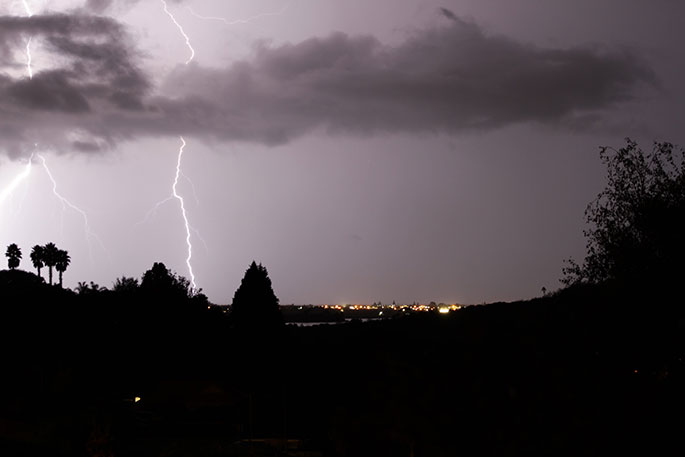
The MetService is forecasting scattered thunderstorms about parts of the northern North Island, with localised heavy rain and possible downpours.
"For parts of Auckland south of Orewa and east of the Waitakere ranges, Coromandel Peninsula and western Bay of Plenty from about Tauranga northwards, a few of the thunderstorms could be severe with localised downpours of 25-40mm/h," says a spokesperson for the weather organisation.
"The main risk of severe thunderstorms in this area is between about 5pm and midnight tonight.
"Rainfall of this intensity can cause surface and/or flash flooding, especially about low-lying areas such as streams, rivers or narrow valleys, and may also lead to slips.
"Driving conditions will also be hazardous with surface flooding and poor visibility in heavy rain.
The thunderstorms activity should ease overnight."

0 comments
Leave a Comment
You must be logged in to make a comment.