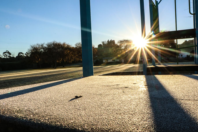
Weather experts are predicting a cold and windy start to the school holidays next week.
A warm and wet few days ahead is forecast by MetService as a complex area of low pressure affects the country but a change in regime is coming at the end of the week as the persistent mild northerlies give way to cold southerlies.
After a prolonged period of rain for Tairāwhiti/ Gisborne, from Friday June 16 to Sunday June 25, which saw over 585mm of rain recorded in the Raukumara Range, and 255mm in Gisborne, a north-easterly flow continues to bring further showers to the region.
'Surface flooding and slips are still possible due to how saturated the region is, but rainfall amounts are expected to be well short of warning criteria so no further warnings or watches will be issued,” says MetService meteorologist Amy Rossiter.
Today, a low-pressure centre deepens to the east of NZ, which remains slow-moving for a couple of days driving strong easterlies and rain with possibly heavy falls into the east from Wairarapa to Canterbury.
On Wednesday, a trough of low pressure east of the country is expected to bring rain to eastern areas of central and southern New Zealand, while a southwest flow over the north of the country brings rain or showers.
There is low confidence that there will be warning amounts of rain about eastern Marlborough, north Canterbury and the foothills or high county areas from mid Canterbury, through North Otago to northern Dunedin.
Late in the week, a series of active and fast-moving fronts approach the country from the Southern Ocean, which will bring a change to wintry conditions.
The trough to the east of the country moves slowly away on Thursday and Friday, with rain or showers easing; while in the north of New Zealand an unsettled southwest flow continues to bring rain or showers.
Temperatures are forecast to drop as cold air spreads up the country, and there is the possibility of snow, especially for those higher elevations in the south.
On Saturday, a very strong and disturbed west to southwest flow spreads over New Zealand, with low confidence for warning amounts of rain in Buller, Westland, and Fiordland.
Additionally, there is low confidence that westerly winds will rise to severe gale in Northland, Auckland, Coromandel Peninsula, and from central Hawke's Bay to Wairarapa, while there is also low confidence west to southwest winds will rise to severe gale about coastal Southland, and Clutha.
During Saturday, snow could possibly affect higher roads and passes of Fiordland, Southland, Otago and along the Main Divide.
'While it is too far out to pinpoint the finer details of the forecast for next week it is looking like a cold and windy start to the school holidays.” says Amy.


0 comments
Leave a Comment
You must be logged in to make a comment.