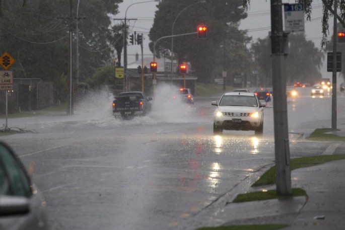
We're only halfway through the year, but new NIWA analysis shows that some parts of New Zealand have already recorded more than a year's worth of rain.
It was the wettest first half of the year on record for several areas in the northern and eastern North Island.
NIWA meteorologist Ben Noll says that to many, the results probably won't be a surprise.
"Those living in Northland, Auckland, the Coromandel Peninsula, Gisborne, and Hawke's Bay have dealt with a constant barrage of sub-tropical lows, atmospheric rivers, and ex-tropical cyclones, which caused copious amounts of rainfall. It has been quite relentless.".
The 11 locations across four regions that recorded over a year's worth of rain in the first six months of 2023 are:
- Kaikohe (2140 mm)
- Whangārei (1526 mm)
- Warkworth (1525 mm)
- Leigh (1234 mm)
- Whangaparāoa (1114 mm)
- Albany/North Shore (1319 mm)
- Māngere (1152 mm)
- Tauranga (1335 mm)
- Gisborne (1230 mm)
- Tūtira (1359 mm)
- Napier (984 mm)
On the rainiest end of the spectrum, Kaikohe in Northland received more than 130 per cent of its normal annual rainfall from January-June.
On the driest end of the spectrum, Waimate in South Canterbury received just 33 per cent of its normal annual rainfall from January-June.
In terms of temperature, January-June 2023 was 1.1C above average, according to NIWA's seven station temperature series which began in 1909.
This is the second warmest such period on record. Only 2016 had a warmer January-June.
What was behind the wet and warm?
La Niña: even though it officially ended earlier in the year, the lingering influence of La Niña contributed to an air pressure pattern that brought more sub-tropical, north-easterly winds, atmospheric rivers, and increased the risk for ex-tropical cyclones.
Southern Annular Mode: persistent "blocking" high pressure near the South Island enabled rain-bearing weather systems to linger for long periods of time, sometimes affecting the same regions day after day.
Marine heatwaves: frequent air flows from the north-east, reduced westerly winds, high pressure near the South Island, and climate change enabled this driver to bring warmer temperatures and increased moisture availability to the New Zealand region.
Climate change: the impact of climate change left a strong imprint on the record warmth and exacerbated the extreme rainfall events during the first half of the year.
What's to come?
El Niño is emerging in the tropical Pacific and is expected to bring notably different weather patterns to the country during the back half of the year as compared to the first half.
During late winter, spring, and summer, southwesterly-to-westerly winds will become more prominent. Historically, this has increased the chance for drier-than-normal conditions in eastern areas of the country and caused more rain in the west.
"In summary, a change in the climate driver means a change in the wind, and ultimately, a likely change in rainfall patterns. The weather is likely to be quite different to what we've been living through in recent times."


0 comments
Leave a Comment
You must be logged in to make a comment.