
The working week finishes off on a relatively settled note compared to the weather that MetService is forecasting across the country this weekend.
“We need to keep our eyes on the low pressure system developing over the Tasman Sea as it’s going to direct some warm, humid air across Aotearoa this weekend but it also comes with the potential for heavy rain,” says MetService meteorologist Lewis Ferris.
The system over the Tasman directs a northwest flow onto the country which, combined with the warm airmass, increases the risk of high intensity rainfall, especially along the ranges of Westland from Saturday afternoon through Sunday.
There will likely be some MetService Severe Weather forecasts issued today.
On Sunday, the band of rain wraps across the North Island bringing heavy bursts of rain and strengthening northwest winds, especially around the southern tip of the North Island.
Some areas will hold onto wet weather into the new working week, however, it will be drier around the south of the South Island.
Air pushing in from the south during the second half of Sunday, spells a cooler start to the week for eastern areas south of Marlborough Sounds.
With tomorrow being the beginning of meteorological summer, we can expect a bumpy ride through the first week of December.
The bumps will present as rain for many but the yoyoing temperatures will be more notable in Canterbury with a cool Friday followed by a warm weekend before chilly air arrives in time for the new week.
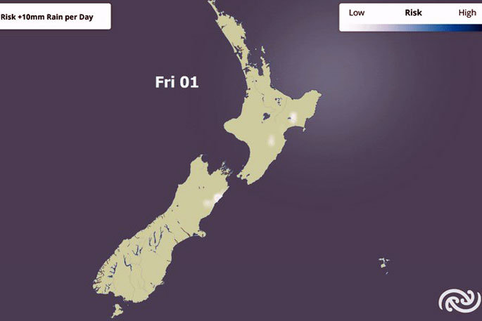
Image: MetService.

0 comments
Leave a Comment
You must be logged in to make a comment.