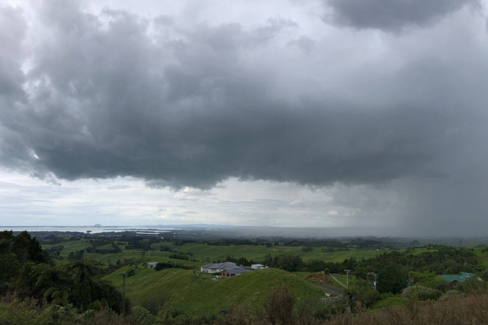
MetService reports that scattered thunderstorms are developing over the central North Island, and are expected to continue into the evening with heavy rain and the potential for localised downpours in excess of 25mm per hour.
"The highest risk of downpours is about Central and Southern Hawkes Bay, from about Hastings southwards, and the Tararua District between about 2pm and 8pm today," says a MetService spokesperson.
Rainfall rates of 25-40mm per hour, or possibly more, can be expected with the thunderstorms.
Rainfall of this intensity can cause surface and/or flash flooding, especially about low-lying areas such as streams, rivers or narrow valleys, and may also lead to slips.
Driving conditions will also be hazardous with surface flooding and poor visibility in heavy rain. The thunderstorm activity should die away this evening, however further thunderstorms are likely about Hawke's Bay and Tararua District tomorrow (Christmas Day).
Tuesday, December 26 2023 Unstable conditions are likely on Boxing Day/Tuesday with showers expected over some inland areas. Thunderstorms are again possible, especially over the North Island.
There is low confidence that rainfall amounts will reach warning criteria from the central North Island high country to the ranges of eastern Bay of Plenty. Wednesday, December 27 2023 A weak ridge of high pressure should bring slightly more settled weather to most of New Zealand on Wednesday, but some heavier showers are possible from inland Hawke's Bay to East Cape.
At this stage, there is minimal risk of severe weather. Thursday, December 28 2023 Moist northwesterlies should again develop over the country on Thursday, but at this stage there is minimal risk of severe weather. Friday, December 29 2023 The strong, moist northwest flow should push across New Zealand on Friday, bringing rain and strong winds to many places.
There is low confidence of rainfall meeting warning criteria over western parts from Fiordland to Coromandel Peninsula, but moderate confidence over northern Fiordland and Westland, and western areas of the North Island from the Tararua Range to Taranaki and Taupo.
There is also low confidence of severe northwest gales from Fiordland over eastern parts of the South Island to the lower North Island. Note: A Severe Thunderstorm Watch means conditions are favourable for severe thunderstorms in and close to the watch area. People in these areas should be on the lookout for threatening weather conditions and monitor for possible Severe Thunderstorm Warnings. For information on preparing for and keeping safe during a storm, see the Civil Defence Get Ready website

0 comments
Leave a Comment
You must be logged in to make a comment.