July kicks off with windy and wet conditions as MetService forecasts a band of rain to move northwards across New Zealand.
The second half of the week holds drier, yet colder weather in store.
“Low pressure to the south of the country is making for a windy start to the month, and with those winds arriving from the northwest, it’s the western facing mountains that will be seeing the heaviest rainfall,” explains MetService meteorologist John Law.
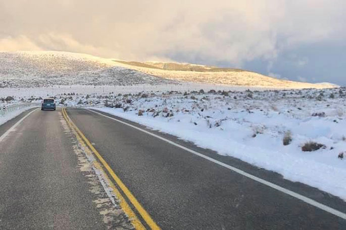
In addition to the rain, snow returns to the higher elevations of the South Island, leading to Road Snowfall Warnings for several mountain passes and high-level roads this morning.
This extends to the Desert Road in the North Island this afternoon and evening.
"As we move through the week, showers are expected to gradually become confined to the eastern and southern coasts by Wednesday and Thursday, bringing drier weather for much of the country.
"At the same time, a shift to southerly to southwesterly winds will keep things breezy along the eastern coastlines.
"This is expected to generate rough sea conditions along the South Island on Tuesday, extending to the North Island on Wednesday."
John says those southerly winds will also lower temperatures, bringing them closer to seasonal norms, with some colder nights ahead.
"Frosty nights are typical for this time of year, but with places like Hamilton dropping from 9°C tonight to just 0°C on Thursday morning, it will certainly feel like a change."
Daytime temperatures will also serve as a reminder that winter is here. Northland and parts of Auckland are likely to experience their coldest day of the year so far on Friday, with Whangārei and Auckland City only reaching a high of 13°C to end the week.
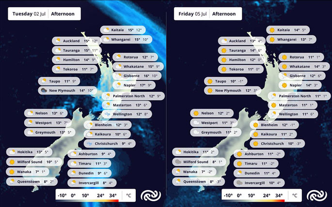 Image: MetService.

0 comments
Leave a Comment
You must be logged in to make a comment.