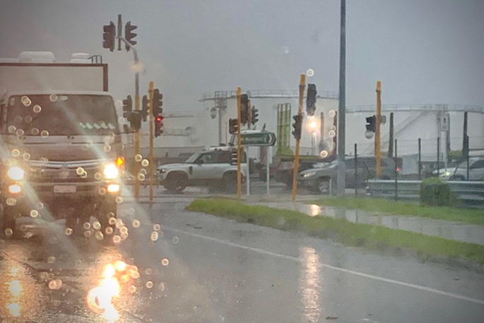
Rain and showers are forecast for the top of the North Island, Bay of Plenty, and northern Tairāwhiti Gisborne on Monday and Tuesday, says a MetService meteorologist.
The weather will pack in this coming week with a “large rain-bearing system” putting an end to sunny days as it begins sweeping the country.
Severe weather is forecast for the top of the North Island, prompting MetService to issue a heavy rain watch in Northland for Monday.
But MetService meteorologist Karl Loots told the Herald, “It’s one of those scenarios where closer to the time, we could issue more of those warnings as the picture becomes clearer.”
The heaviest falls are expected to drench Auckland on Monday, but showers are forecast to continue in the city throughout the week before heavy downpours are expected to return on Friday.
The “deep” low-pressure system bringing the rain has been forming in the Tasman Sea “for quite a while”, Karl says.
It has been sitting off the east coast of Australia and blocked from moving due to a strong high-pressure system lingering over New Zealand.
“Now this high is giving way, that front comes in,” says Karl.
The wall of moisture is due to track down the country and is expected to reach Wellington late Monday, Christchurch on Tuesday and Dunedin on Wednesday.
“By the end of Sunday, we see the approach of a large rain-bearing weather system from the Tasman Sea, something we really have not seen since the beginning of the month," says MetService meteorologist Mmathapelo Makgabutlane.
“This is looking to bring rain or showers to many parts of Aotearoa New Zealand next Monday and Tuesday. The top of the North Island, Bay of Plenty, and northern Tairāwhiti Gisborne look likely to be the wettest of the lot.”
MetService issued the heavy rain watch for Northland between 3am and 6pm on Monday when the forecaster says there is a chance rainfall rates could surpass 100mm within 24 hours.
Say goodbye to the high
— NIWA Weather (@NiwaWeather) July 11, 2024
It's been a strong run, but the record-breaking high will soon say sayonara (after the weekend).
A deep low will form in the western Tasman over the weekend & impact New Zealand's weather next week... pic.twitter.com/cjtgjy3Wjc
The Bay of Plenty and Tairāwhiti Gisborne could also bear the brunt of the heaviest falls late Monday and Tuesday, Karl says.
Forecast temperatures for the main centres were starkly different to those of last week. Auckland’s daily highs were expected to sit between 15C and 17C between today and Friday. The city had daily lows tipped for between 9C and 11C.
“It’s going to be a bit different [to this week], especially for those up north,” says Karl.
It's been five days since our last Severe Weather Watch but sadly next week is a much more active week of weather.
— MetService (@MetService) July 12, 2024
Rain returns from Sunday with some heavy rain possible on Monday in Northland.
Find the latest information at https://t.co/jRxTG7MWdi pic.twitter.com/JnBckj7qIk
The high-pressure system over New Zealand this week brought clear skies, a lack of wind and chilly mornings.
Daily low temperatures fell as low as 3C in the City of Sails on Saturday night, and the average low since last Saturday was 4.8C, according to MetService’s past data.
The coldest temperature was recorded at Mount Cook Aerodrome where it plummeted to -7.6C yesterday morning. Queenstown fell to -3C and Invercargill hit -2C.
The sprawling high-pressure system set a new national record for air pressure. After barometers this week registered a new national mean sea level pressure record for July, of 1045 hectopascals (hPA), Ranfurly in Central Otago last night recorded a provisional all-time record of 1046.5 hPa.

0 comments
Leave a Comment
You must be logged in to make a comment.