Another very large area of low pressure is growing just west of New Zealand and will bring some severe weather to NZ next week.
WeatherWatch.co.nz says this weather will mainly affect the South Island, but there are more localised risks for the North Island too.
"The low itself isn't a "storm" - it's large and fairly 'lazy' and surrounded by two controlling high pressure zones," says the weather organisation in its latest update.
"High pressure to the east of NZ is holding this low up and helping to encourage warmer/moisture filled air over the country, whilst the high pressure zone south of NZ is injecting the subantarctic portion of wintry air into this low (and into southern NZ).
"The southern high pressure is also creating a "squash zone" of South-East gales as we go into Tuesday for the lower South Island, as it interacts with the low over the Tasman Sea."
Main weather risks look to be from Monday evening to Thursday morning, with coldest air arriving on Tuesday/Wednesday in the South Island, says WeatherWatch.
"Many other places are warmer than usual further north, thanks to the northerly flow. Some places are several degrees above normal for this time of year, especially with overnight temperatures.
"The mixture of milder than usual, wet/humid, air from the north will combine with colder air south of NZ moving in - this process can create heavy snow over parts of the South Island (mostly coming into Otago and South Canterbury for the hills and ranges). The low will also bring heavy rain to other areas further up the country."
WeatherWacth says snow may be heavy for some farms at higher elevation (above 300 or 400m).
WeatherWatch.co.nz is not currently expecting snow to sea level, or in any of the main centres in any major way - but some places are borderline for rain to turn to snow and it doesn't take much for this to suddenly happen, including around Dunedin.
WeatherWatch.co.nz's main concern for the past week has been for farms/livestock and those travelling (especially roads and flights).
"With early lambing season already underway in parts of NZ, the wet, windy and cold weather can be deadly.
"Our latest App and RuralWeather.co.nz both have wind chill graphs, hourly, for 10 days out - for all NZ locations. If it's raining with windchill near 0 that is a tough set-up for newborn animals."
WeatherWatch says a number of places in Southland, Otago and Canterbury will have windchill of 0 degrees, or below, in the 'warmest' part of the day in the coming week (ie, early afternoon).
"With rain on top of that this is miserable weather for livestock, especially newborn animals. While lambing peaks in September it starts as early as July.
"Strong to severe gale winds are also possible in exposed parts of the lower South Island, making conditions tougher for animals."
TRAVEL
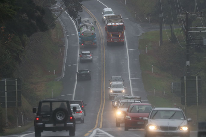
Flights and highways are also likely to be impacted this week - again especially around the lower half of the South Island and alpine areas, but this could spread into other regions, warns WeatherWatch.
"Snow at higher elevations is the main concern for highways, while heavy rain and low cloud/poor visibility and maybe even gales at lower elevations are the concerns for airports/flights.
"There are a lot of moving parts to all this - as our Friday weather video alluded to - but severe weather watches are now being issued by MetService and are likely to ramp up later on Sunday and across Monday and Tuesday."
WeatherWatch.co.nz will have more details in its weather video out around lunchtime Monday.
"Not every region has sever weather risks, some are just wet, mild and cloudy this coming week - the main risk is for the South Island but parts of the North Island will be caught up in this too."
Weather maps below show the current path of the system and what people can expect.


0 comments
Leave a Comment
You must be logged in to make a comment.