A rare disturbance in the weather above Antarctica will continue to bring unusually cold air to New Zealand.
NIWA says each winter, a ring of stormy, freezing weather - known as the polar vortex - encircles Antarctica.
Meteorologist Ben Noll says it typically kept harsh, wintry conditions locked up near the South Pole but on rare occasions it became disturbed and moves across New Zealand.
"Sometimes the polar stratosphere, a layer of atmosphere 10-20 kilometres above Antarctica, warms rapidly, with temperatures rising by more than 25 degrees Celsius in a week. This is called a sudden stratospheric warming and causes the polar vortex to weaken or become stretched and displaced."
Ben says it can influence the atmospheric layer and and the resulting weather.
"The icy air masses near the pole have an easier time escaping into the hemisphere's mid-latitudes, like an ice cube tray being shaken loose."
He says the phenomenon is currently being observed above Antarctica and will strongly influence the Southern Hemisphere's weather patterns throughout August.
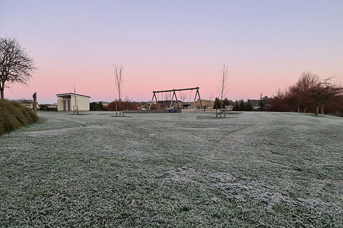
It will contribute to a cold and frosty start to the month, followed by more moderate temperatures.
There have only been three sudden stratospheric warming's in the satellite era: September 2002, September 2010, and August-September 2019.
After the 2002 event, New Zealand experienced its coldest October in 20 years with below average temperatures covering much of the country and frequent ground frosts.
Ben says the weather-related impacts this year will mean cold, frosty conditions are likely to be followed by warmer and wetter conditions later in August and into September.
MetService meteorologist Lewis Ferris says many parts of the South Island experienced temperatures below zero on Friday morning.
"A very cold air mass coming up from the south has been bringing that potential for snow to lower parts of the South Island and bringing that cold air right across the country, especially around places that are still being affected by that southerly windflow."
The coldest place overnight was Mt Cook Aerodrome at -10.3 degrees Celsius, with Central Otago falling to -4C and Christchurch experiencing -1C.
Lewis says the cold temperatures are set to persist into the weekend - though most of the country would see fine, settled weather.
An overnight low of -5C in Christchurch meant for a frosty start to Saturday for those in the Garden City.
Lewis says most places will continue to experience cold mornings, followed by sunny afternoons.
He says the exception is Northland, which is under a heavy rain watch - with the potential for it to be upgraded to an orange warning from Saturday afternoon through to Sunday afternoon when the rain is expected to intensify and be more widespread.
"The wintry system that moved up the country this week has been a very nice top up for ski fields so it will make perfect conditions this weekend, but you will be dealing with larger crowds."

0 comments
Leave a Comment
You must be logged in to make a comment.