
A broad ridge of high pressure dominates New Zealand early this week, bringing with it settled weather and cool overnight temperatures for many.
These single digit overnight temperatures will be felt by most of the country for the rest of the week.
“Unfortunately this ridge is ‘dirty’ and is bringing showers to northern, western and southern areas today. It will be disrupted by a low pressure system and its associated fronts, which approach from the west, bringing wet weather as we head into Wednesday,” says MetService meteorologist Dom Barry.
The wet weather is set to hit Te Waipounamu/South Island on Wednesday and into Thursday, moving onto Te Ika-a-Māui/North Island on Thursday and into Friday.
“This is a double-whammy feature with rain bands coming from the south and the west, combining, so we are expecting just about everyone to see some form of rainfall in the period from Wednesday to Friday.”
Maximum temperatures are expected to be in the early to mid-teens for most places throughout this week, despite many places still set to experience frosty sub-zero starts to the day, as has been the trend over the last few days.
“This rain system has another ridge behind it, so it appears to be fast moving. Much of the rainfall should be gone by the end of the working week, although some precipitation will linger about southern and eastern Te Ika-a-Māui/North Island.”
All in all, it’s a rather standard winter's week ahead for New Zealand.
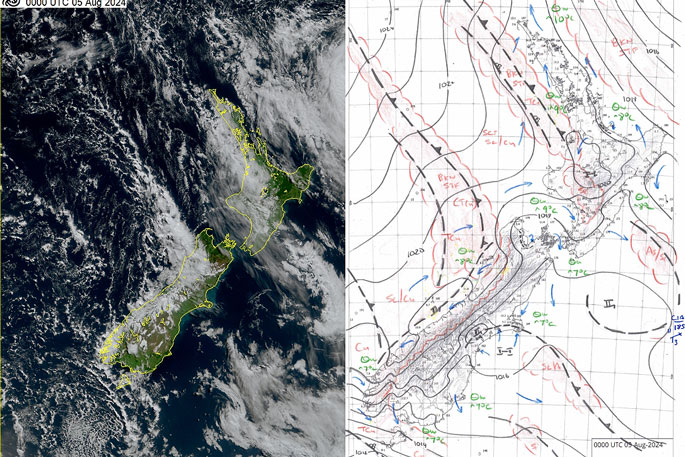 Image: MetService.

0 comments
Leave a Comment
You must be logged in to make a comment.