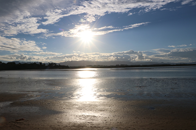
Winter continues to grip the Bay of Plenty today and tomorrow, but the MetService is promising slightly warmer temperatures come Sunday.
Thursday evening in the west of the North Island from Auckland through to Wellington, as well as the Coromandel Peninsula and Western Bay of Plenty, was wet with a risk of thunderstorms, heavier showers, and small hail.
In the South Island, vehicles travelling over the central alpine passes on Thursday afternoon and evening likely saw snowflakes, and Road Snowfall Warnings were in force along State Highway 73.
The summits of both Arthur’s Pass and Porters Pass are forecast to receive a few centimetres of snow due to cold southerly air combining with moist northerlies over the central South Island.
"While ski fields in the area may appreciate the fresh top up ahead of the weekend, the rain along the eastern coast of the South Island will feel bitter this evening as southwesterly winds pick up there," says MetService meteorologist Clare O’Connor.
"However, a brighter day dawns for most on Friday as western North Island showers are gradually quashed and the South Island rain is pushed northeast over the day by a building ridge of high pressure."
In Tauranga, the MetService is forecasting mainly fune weather with the chance of an evening shower. Today's high is expected to reach 16, with an overnight low of 5.
On Saturday, any showers lingering around the North Island gradually clear throughout the day, including those in the east.
With an expected maximum temperature in Wellington of 13°C, rugby fans heading to Sky Stadium Saturday evening are advised to dress warm as cold southerly winds could still be blowing through Cook Strait.
The weekend ends on an unseasonable note in Canterbury and Otago, with mild westerlies coming in on Sunday, pushing temperatures about 4°C above average for this time of year – a trend that continues into the week ahead.
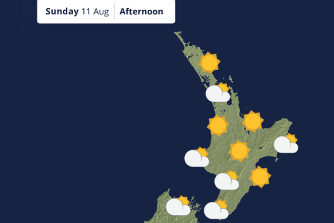 Image: MetService.

0 comments
Leave a Comment
You must be logged in to make a comment.