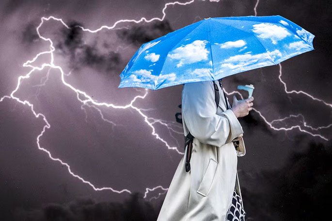
Forecasters expect spring – which arrived with nearly 90,000 lightning strikes around the North Island - to be even messier than the notoriously unsettled season normally is.
Jamie Morton looks at three things to watch out for.
A wild start
Torrents of rain, lightning and thunder, gale-force winds: we’re only two days into meteorological spring and there will be more bumpy days in the weeks ahead.
As any hairdresser and farmer knows, spring is always messy and turbulent.
It’s the time when temperatures rise the fastest as solar radiation kicks up a gear, while our place on the planet puts us in a tug-of-war between shifting pressure systems – making for warm and cold spells, rainy fronts, and blustery winds.
Things are most chaotic around the transition point we know as the spring equinox – that’s September 23 this year - when day and night are roughly equal in length.
But there’s also more spice in the mix.
We’re still being exposed to the fallout from a rare polar heatwave that’s pushed freezing winds closer to New Zealand – and masses of low pressure lying to our south.
We’re also feeling the influence of abnormal heat in Australia – much of which has been under a dome of high pressure – as shown by parcels of warm, moist air carried here with north-westerly flows.
Niwa meteorologist Ben Noll said the result of those two forces colliding over the Tasman Sea – where there have been an incredible 800,000 lightning strikes in a week – was “atmospheric fireworks”.
“We’re also seeing it with a front that’s pushing onto the country and could bring more lightning to the South Island on Tuesday and to the North Island on Wednesday, with another front possibly arriving at the weekend,” Noll said.
“So, those two anomalies to the north and south of us make for another layer over the usual variability we see in spring, when we’re concurrently feeling the remnants of winter and expanding subtropical warmth.”
East vs West
Niwa’s just-issued spring outlook painted some broad-brush climate patterns for New Zealand.
Average temperatures would be on the warmer side: particularly in the north and east of the North Island, and the east of the South Island, as those balmy masses from Australia occasionally drifted towards us.
More striking was an east-west contrast in forecast rainfall, akin to this year’s El Nino patterns.
While the west of both islands would likely receive near or above normal rain over spring – owing to more westerly flows and fronts – eastern regions could get less than their usual amount.
“For Hawke’s Bay, some scenarios under Niwa’s drought outlook through September hint at a drying scenario – so that’s something we certainly need to be mindful of for the first part of this season,” Noll said.
“After a relatively dry winter in several regions, farmers will probably be looking for more moisture, and not the spiky warmth and wind we have now.
“Similarly, some parts of east Canterbury are having what’s been described as a ‘green drought’ where the top layer of the soil might be moist enough, but if you dig down a couple of centimetres, you find it gets dry pretty quickly.”
Warm and blustery conditions in north Canterbury have also been causing havoc for fire crews battling a major forestry blaze near Waipara.
Noll said the westerly pattern had come with one positive: bringing much-needed rain to the South Island’s depleted hydro lakes.
La Nina looms
The biggest question hanging over the back half of spring is the return of La Nina - a climate pattern Niwa’s outlook gave 50/50 odds of fully forming before summer.
“The latest guidance is pointing to a building influence from that feature potentially even beginning in the second half of September, then becoming stronger as we go through [October and November],” Noll said.
“That presents an interesting scenario where we might see summer-like weather come a little earlier this year, if we get building high pressure and perhaps a corridor of warmth to our north-east.”
For north-eastern regions in particular, the prospect of La Nina could also spell a regime change to more rain – although the system wasn’t expected to be as intense as that which fuelled 2023′s extreme summer.
With the shift to La Nina and warmer temperatures also came the potential for more big marine heatwave events, which add their own influence on our weather.
“Seas around New Zealand are already upwards of a half degree warmer than average, so that’s something we’ll definitely be watching.”

0 comments
Leave a Comment
You must be logged in to make a comment.