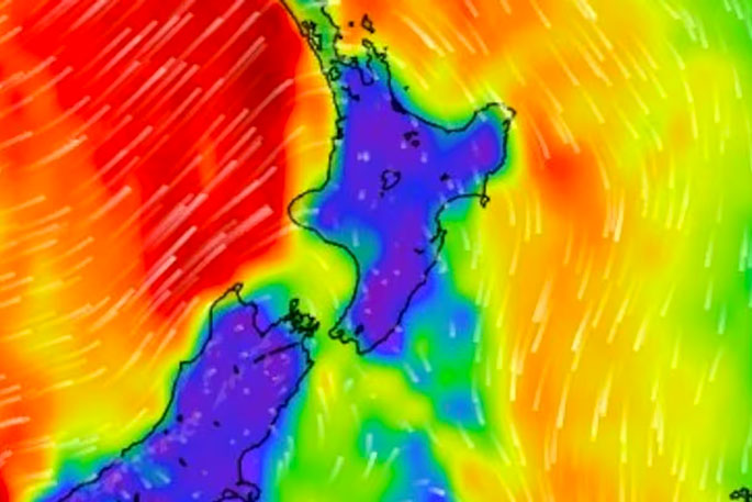
Heavy rain, thunderstorms and possibly “damaging” tornadoes are in store for Auckland commuters during tonight’s rush.
Forecasters say temperatures will dip “well below average” for September, with some areas waking up to lows below zero because of a “polar vortex”.
MetService meteorologist Mmathapelo Makgabutlane said there was a “small chance” of small tornadoes in many areas of the country.
“I think the possibility [of tornadoes] happens more than people realise.”
She said there was a high possibility of “intense rainfall” too for Auckland, Northland and the Coromandel.
For Auckland, she said the wild weather would be near mid-afternoon and be at its peak from 6pm-7pm.
She said it would have moved away overnight, but a new weather system would take its place tomorrow, bringing more rain.
“We do have another weather system that moves through sort of in the middle of the day, so brief respite and then another weather system moving through tomorrow.”
MetService also reported tornadoes were possible in the Bay of Plenty and northern regions of Gisborne in the afternoon.
Another front is due to move over the northeast of the lower South Island in the afternoon and evening. MetService is reporting a “low” risk of thunderstorms for Fiordland, southern areas of Westland and coastal areas including Stewart Island.
Makgabutlane said behind the wild weather systems was an influx of colder air from a tropospheric polar vortex.
She said in Auckland, temperatures would hit a max of only 14C; however, due to another cold wind hailing from the south, it would feel “much colder than that” through to Wednesday.
Makgabutlane said the lower South Island was in store for the frostiest days with temperatures rising to only single digits.
Alexandra, Wānaka and Queenstown usually see an average high of 15C at this time of year, but will get a high of only 7C over the next three days.
“Heading into the morning, these areas will be starting in the minuses, which is well below average for this time of year.”
The wintry temperatures would also bring snow to low levels in the South Island.
Road snowfall warnings are nowy in place for Lindis Pass (SH8), Crown Range Rd, Milford Rd (SH94) and Dunedin to Waitati Highway (SH1) from this afternoon and evening.

0 comments
Leave a Comment
You must be logged in to make a comment.