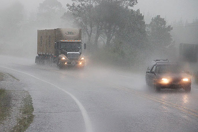
A swathe of fresh weather warnings have been issued for much of the North Island as an “atmospheric river” begins dumping 450mm of rain over the country.
Weather watches for Northland, Coromandel Peninsula, Bay of Plenty and other central regions have been upgraded to orange heavy rain warnings with 400mm of rain over about 30 hours expected in some areas in coming days.
Residents at the top of the South Island are being warned to prepare for slips on vital roads and surface flooding.
MetService has upgraded its watches for many North Island regions to orange heavy rain warnings as the rain begins soaking the country.
Northland’s warning began at 10am and will be in place for 27 hours. Residents have been told to expect 150 to 200mm of rain north of Maungatapere and 90 to 120mm further south.
The heavy rain is set to strike more central areas early tomorrow morning.
A heavy rain warning will come into effect for Bay of Plenty and Gisborne at 6am, with residents told to expect up to 160mm of rain inland and about the ranges with lesser amounts near the coast. Warnings will come into effect for Coromandel Peninsula at 1am.
A new warning was issued for the Tararua Range north of Wellington for 18 hours from 11am.
Heavy rain watches are in place for Waikato, Waitomo and Taumarunui.
A warning is in place for Tongariro National Park.
Watches are also in place for Nelson and Tasman, southeast of Motueka and North Taranaki.
Meanwhile, heavy rain warnings have also been issued for central South Island regions.
An orange heavy rain warning came into effect for Marlborough, northwest of the inland Kaikōura Range, the Grey District and Westland District north of Harihari and the headwaters of the Canterbury lakes and rivers at 9am.
Earlier, MetService meteorologist Surprise Mhlongo said the rain had begun to soak the upper South Island overnight with 80mm of rain already washing over the Tasman region.
The Tasman District Council was warning residents that slips and flooding could impact vital roads.
“Isolated heavy bursts are possible and could result in more significant flooding in small creeks and surface flooding. Expect some slipping to occur in prone areas.
“Rainfall is forecast to be highest toward the end of the event when catchments are soaked.”
Mhlongo said the rain would creep down from the Far North - where it has already fallen overnight - later this evening before the skies opened up over Auckland about 10pm. A heavy rain watch has been issued.
He said the showers over Northland would remain steady throughout the day, becoming heavier about midday. A heavy rain watch has been issued for the area from 12pm today until noon tomorrow.


0 comments
Leave a Comment
You must be logged in to make a comment.