People in the Bay of Plenty and Coromandel are being warned to brace themselves for another deluge of heavy rain.
A severe weather warning is in place for both regions, with 130mm of rain expected to fall from now and into the early hours of Saturday morning in Northland.
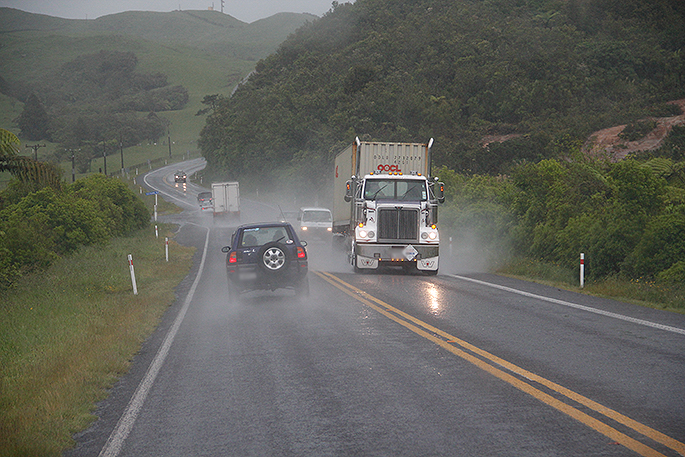
In the Coromandel and Bay of Plenty, rain is expected to become heavy today and then ease later on Saturday, where 90-140mm of rain may accumulate, says the MetService.
The MetService is forecasting a chance of thundery downpours today, with the rain predicted to continue through to Sunday.
AREA/S AFFECTED: NORTHLAND
FORECAST:
Periods of heavy rain are expected to ease early Saturday morning. In the 21 hours from 9am Friday to 6am Saturday, a further 100 to 130mm of rain may accumulate on top of what has already fallen, especially in the east. Peak intensities of 25mm per hour or possibly more in thunderstorms.
Note, further heavy rain is likely during Sunday morning.
AREA/S AFFECTED: AUCKLAND
FORECAST:
Periods of heavy rain are expected today and Saturday morning, with the heaviest falls likely this afternoon, then again overnight. In the 18 hours from 1pm Friday to 7am Saturday, 80 to 100mm may accumulate, especially in the south. Peak intensities of 25mm per hour or possibly more in thunderstorms.
Note, further rain or showers are expected later Saturday and during Sunday.
AREA/S AFFECTED: COROMANDEL PENINSULA
FORECAST:
Periods of rain are expected to become heavy again early this afternoon. In the 21 hours from 1pm Friday to 10am Saturday, a further 100 to 140mm may accumulate on top of what has already fallen. Peak intensities of 25mm per hour or possibly more in thunderstorms.
Note, further rain or showers are expected during Sunday, especially in the morning.
AREA/S AFFECTED: BAY OF PLENTY WEST OF WHAKATANE
FORECAST:
Rain is expected to become heavy this afternoon. In the 20 hours from 4pm Friday to midday Saturday, a further 100 to 140mm may accumulate on top of what has already fallen. Peak intensities of 25mm per hour or possibly more in thunderstorms.
Note, further rain or showers are expected during Sunday, especially in the morning.
AREA/S AFFECTED: BAY OF PLENTY ABOUT AND EAST OF WHAKATANE
FORECAST:
Rain is expected to become heavy this evening. In the 17 hours from 9pm Friday to 2pm Saturday, a further 90 to 120mm may accumulate on top of what has already fallen. Peak intensities of 25mm per hour or possibly more in thunderstorms.
Note, further rain or showers are expected during Sunday.
Meanwhile, crews in the Coromandel are working to reopen roads that were closed due to flooding damage on Wednesday.
The only closures are the Whangamata Bypass (Port Rd to Harry Watt Dr) and the road between Whangamata and Opoutere.
'You can get through between Waihi and Whangamata and up the Thames Coast but just drive with care due to slips,” says a statement from the district council.
'Please use THE NZTA website for the latest updates: www.nzta.govt.nz
'We are posting more regularly on our Facebook page with updates from schools about bus services here.”
Below are some flooding photos from up the Rangihau.

1 comment
rainy weather
Posted on 10-03-2017 23:04 | By phoenix
This latest weather of huge rainfall, sort of puts NIWA forecast, of the hottest,driest summer,on record, somewhat in doubt. Perhaps.
Leave a Comment
You must be logged in to make a comment.