WeatherWatch.co.nz says temperatures are about to jump up after what has been a very cold couple of weeks of some regions.
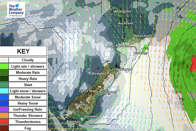
The weather this week is heavily dominated by high pressure and while Monday is showery and a bit windy the coming week is looking mostly settled, sunny and dry for many parts of New Zealand.
WeatherWatch.co.nz says by Friday nor'westers partially from Australia's interior and partially from the sub-tropics will build over New Zealand, becoming even stronger over the weekend with gales possible in central areas and through some mountains and ranges.
This mild air flow, coupled with warming up over New Zealand's ranges, will push temperatures up this week.
"Auckland will have overnight lows as much as 15 degrees warmer than they have been recently while daytime highs will be 4 or 5 degrees milder too," says head forecaster Philip Duncan.
It's a similar story in places like Hawke's Bay where daytime highs are shifting around.
"Today may be closer to 20 degrees, tomorrow just 12, then by the weekend back into the late teens potentially."
Christchurch has a mainly dry week ahead but daytime highs only up around 11 or 12 degrees most days jumps up to the mid to late teens this Saturday.
Queenstown has overnight lows of around -3 tonight and tomorrow night but overnight lows of +6 by Friday.
TO RECAP:
So, make the most of this week - high pressure dominates and it will be mainly dry (cold nights still) with average daytime highs.
By Friday/Saturday windier, warmer, nor'westers develop.
There may be severe weather warnings issued this weekend for rain, gales and marine.

0 comments
Leave a Comment
You must be logged in to make a comment.